What is recorded here
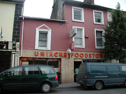
Terraced two-bay three-storey house, c.1840, with single-bay two-storey end bay to left (west) probably originally separate house. Extensively renovated, c.1890, with shopfront inserted to ground floor, and render façade enrichments added. Renovated, c.1965, with openings remodelled to ground floor and replacement shopfront added. One of a pair. Pitched slate roofs (shared to main block) with clay ridge tiles, rendered and red brick Running bond (shared) chimney stacks, profiled cast-iron rainwater goods on rendered eaves to original block, and replacement uPVC rainwater goods, c.1990, on rendered eaves to end bay. Painted rendered walls. Replacement mosaic-tiled frontispiece, c.1965, to ground floor with raised lettering, and remains of timber shopfront, c.1890, to left (west) comprising fluted pilaster with profiled console. Square-headed window openings with rendered sills, moulded rendered surrounds, c.1890, to main block, and rendered panelled surround, c.1890, to end bay having triangular pediment over. Replacement 1/1 timber sash windows, c.1890. Square-headed openings remodelled, c.1965, to ground floor with fixed-pane timber display windows incorporating glazed timber door to one opening. Road fronted with concrete flagged footpath to front.
A well-proportioned house, the main block built as one of a pair (with 22810017/WD-21-10-17), which retains much of its original form and early fabric. The later rendered dressings enhance the artistic value of the site, while the mosaic tiling to the ground floor is an increasingly-rare mid twentieth-century form of shopfront. The house makes an important contribution to the streetscape value of Main Street.
This does not grant access. Most recorded buildings are privately owned; view them only from public ground unless the owner allows entry.
Places near here
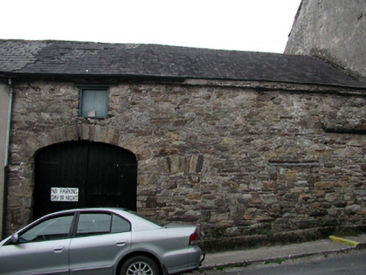 outbuildingoutbuilding · 19 yd
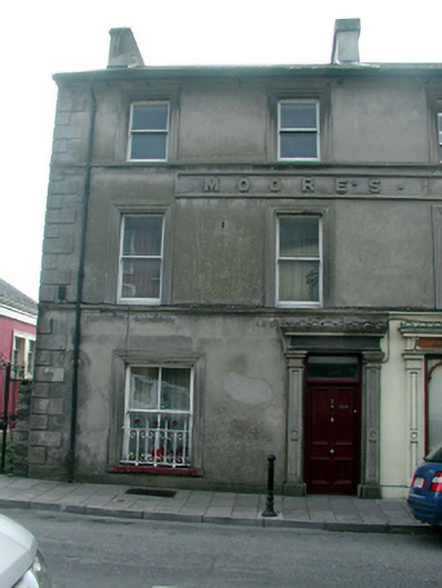 hotelhotel · 20 yd
 Sweet ChestnutSweet Chestnut · 227 yd
 Cappoquin Ho.Castle, unclassified · 362 yd
 TombBurial ground · 714 yd
 Coillte infoboardVisitor information · 1722 yd
 Glenshelane WoodsWood · 1.2 mi
 WaterfallViewpoint · 1.4 mi
 Embanked enclosureFairy fort / ringfort · 1.4 mi
 CastleCastle, unclassified · 1.5 mi
 Battle of AffaneMajor battlefield · 1.6 mi
Other information
Photo: National Inventory of Architectural Heritage · Website use allowed for educational or private purposes with source credit