What is recorded here
Fairy fort / earthen ringfort in Cappanakeady is a fairy fort or earthen ringfort in Cappanakeady, County Tipperary, Ireland. The site is an oval-shaped area measuring 22 metres north-south and 23 metres east-west, enclosed by a low earthen bank and external ditch with a possible entrance gap at the east. It sits on a south-facing slope in an upland area now covered by forestry plantation, where beech and fir trees suggest the ring was later reused as a tree-ring. The dense forestry cover prevented the site from being located during a recent visit.
Situated on a S-facing slope of rising ground in an upland area covered in forestry plantation. It was not possible to locate the site due to the forestry cover. An earlier report (OPW file) describes the site as an oval-shaped area (diam. 22m N-S; 23m E-W) enclosed by a low earthen bank and external fosse with possible entrance gap at E. The presence of beech and firs suggest that the site was reused as a tree-ring.
The above description is derived from 'The Archaeological Inventory of County Tipperary. Vol. 1 - North Tipperary' compiled by Jean Farrelly and Caimin O'Brien (Dublin: Stationery Office, 2002). In certain instances the entries have been revised and updated in the light of recent research.
Date of upload/revision: 22 September 2008
The monument record does not grant public access. Check the route and ask the landowner before entering private land.
- What survives
- Recorded monument
Places near here
 St. Conans WellHoly well · 1071 yd
 Enclosure in KnockadrominEnclosure · 1260 yd
 Church, Grave Yd.Church · 1.0 mi
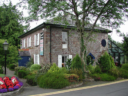 Birdhill Garda Síochána StationRIC barracks · 1.1 mi
 CastleCastle, unclassified · 1.5 mi
 The Pollagh TrailNature reserve · 1.6 mi
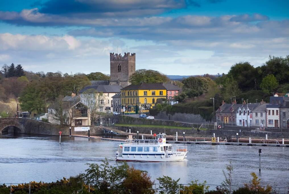 Cloghaneena (in ruins)Castle, hall-house · 2.6 mi
 My Next AdventureHeritage attraction · 2.9 mi
 Brian Boru Heritage CentreVisitor information · 3.0 mi
 Cast Iron BridgeHeritage attraction · 3.2 mi
 Doonan's HillMountain / peak · 3.2 mi
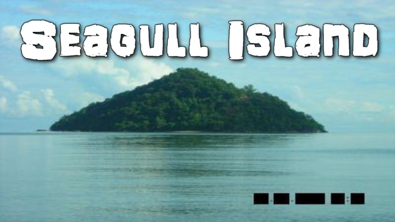 Seagull IslandIslet · 4.6 mi