
What is recorded here
Situated on flat poorly drained land in an upland area. Depicted as a small circular enclosure on the 1st ed. OS 6-inch map which was presumably converted into a quarry as depicted on latest ed. The disused quarry is evident in an area recently planted with forestry.
The above description is derived from 'The Archaeological Inventory of County Tipperary. Vol. 1 - North Tipperary' compiled by Jean Farrelly and Caimin O'Brien (Dublin: Stationery Office, 2002). In certain instances the entries have been revised and updated in the light of recent research.
Date of upload/revision: 22 September 2008
A local fairy fort (ringfort/rath); wider significance not recorded.
The monument record does not grant public access. Check the route and ask the landowner before entering private land.
- What survives
- Recorded monument
Places near here
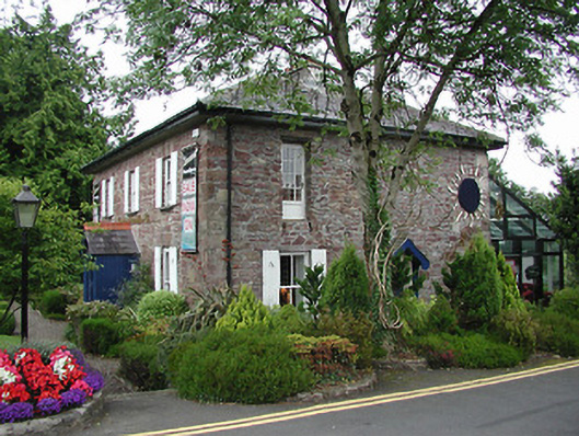 Birdhill Garda Síochána StationRIC barracks · 1580 yd
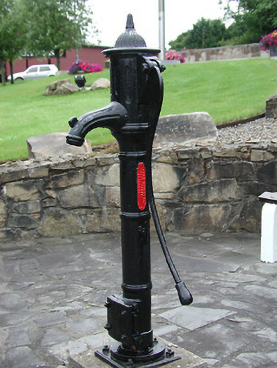 water pumpwater pump · 1640 yd
 St. Conans WellHoly well · 1.1 mi
 The Pollagh TrailNature reserve · 1.2 mi
 Enclosure in KilmastullaEnclosure · 1.2 mi
 CastleCastle, unclassified · 1.4 mi
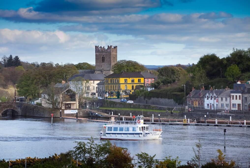 Cloghaneena (in ruins)Castle, hall-house · 1.9 mi
 My Next AdventureHeritage attraction · 2.2 mi
 Brian Boru Heritage CentreVisitor information · 2.3 mi
 Cast Iron BridgeHeritage attraction · 2.9 mi
 Doonan's HillMountain / peak · 3.3 mi
 Seagull IslandIslet · 3.9 mi
Other information
Photo: Credit not shown in the picture search · Rights wording not checked; contact us if this picture should be removed