What is recorded here
Grave Yd. is an unenclosed heart-shaped graveyard in County Kilkenny, Ireland, holding no inscribed headstones but many rough stones that may be remains of a demolished church. It sits beside the Sruhnasilloge river, overgrown with scrub and trees, preserving a quiet burial place where a lost community once gathered. The nearby bullaun, pillar and stoup suggest the ground continued to serve people long after the church disappeared from sight.
Located c. 50m NW of the Sruhnasilloge river which flows southwestward. According to the OS Letters (1839), ‘There is a little obsolete burying ground in the Townland of Kilkiaran but no remains of a Church [KK029-027001-]’ (O’Flanagan 1930, vol. 2, 245 (92)). The church is described by Carrigan (1905, vol. 4, 115-16) as being located, ‘entirely destroyed…The churchyard is covered all over with large rough stones, remains, no doubt, of the walls of the demolished church’.
On the 1st (1839) ed. OS 6-inch map the graveyard is depicted as a small irregular five-sided roughly rectangular area (dims. c. 30m NE-SW; c. 20m NW-SE). On the 1900-01 revision the graveyard is depicted as an unenclosed heart-shaped area (dims. c. 20m N-S; c. 23m E-W).
The graveyard is heavily overgrown with scrub and trees. The church is not visible at ground level but there are a lot of stones strewn around the graveyard. According to Carrigan (ibid. 116) none of the headstones in the graveyard are inscribed. Associated with the church is a bullaun stone (KK029-027003-) and pillar stone (KK029-027006-) within the graveyard and a stoup (KK029-027004-) in an adjacent garden.
Compiled by: Jean Farrelly
Date of upload: 9 March 2022
The monument record does not grant public access. Check the route and ask the landowner before entering private land.
- What survives
- Recorded monument
Places near here
 Site of St. Kierans ChurchChurch · 1 yd
 St. Kieranss WellHoly well · 83 yd
 Site of Brittas CastleCastle, unclassified · 391 yd
 Site of Kilkieran CastleCastle, unclassified · 1055 yd
 Fiddaun Bridgebridge · 1243 yd
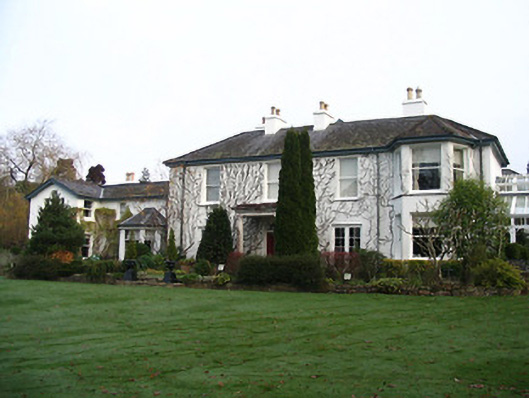 Rockviewhouse · 1495 yd
 Saddle HillMountain / peak · 1.1 mi
 James FrenyMemorial · 1.4 mi
 Graveyard in InistiogeGraveyard · 1.4 mi
 St. Mary's ChurchVisitor information · 1.4 mi
 InistiogeVisitor information · 1.5 mi
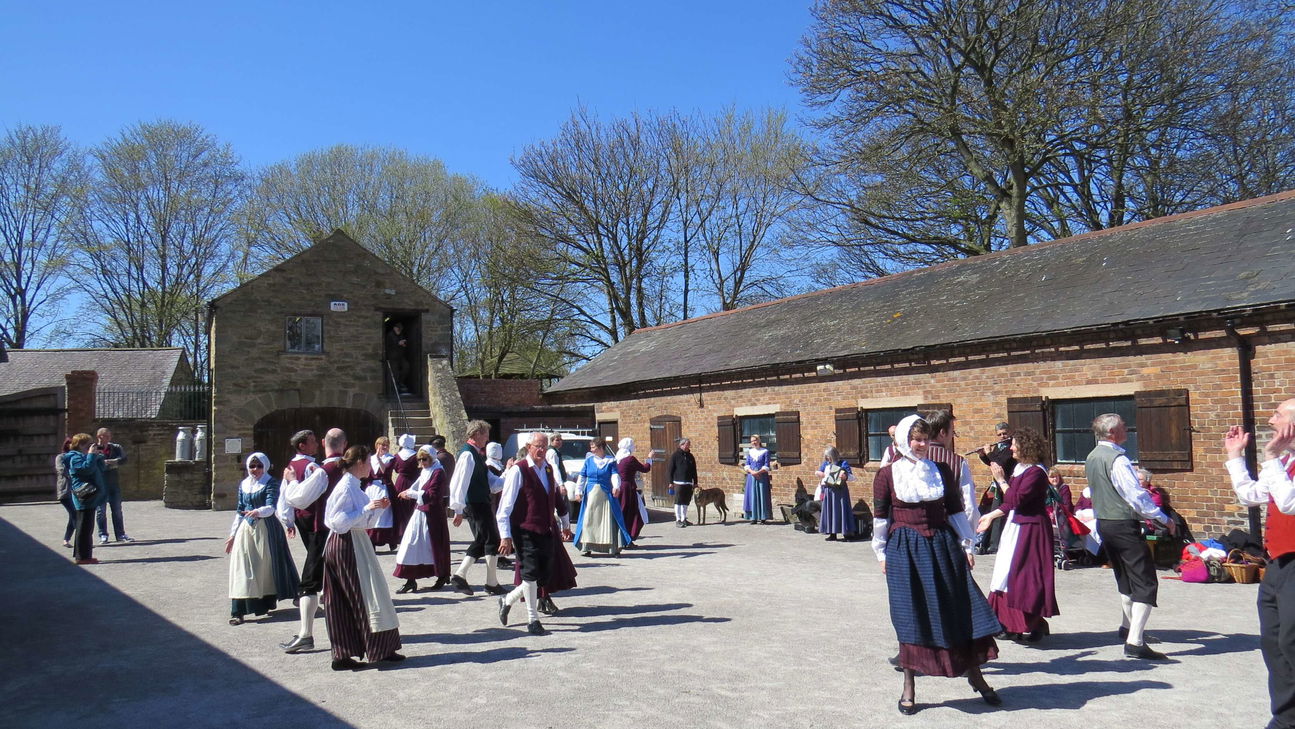 Woodstock Heritage MuseumMuseum · 1.5 mi