What is recorded here
Indicated is a ruined stone ringfort in County Limerick, reduced to a shallow circular scar where field boundaries once met and debris now collects. Its eastern wall still rises vertically like a broken rib, while the rest has surrendered to pasture and forgetting. The fort may have housed people, excluded them, or simply marked a line between ownership and wilderness.
In pasture, on SE-facing slope. Roughly circular area (diam. 30m) enclosed by stone bank (int. H 1.32m; ext. H 1.2m) NNE->NNW, and by recent earth and stone bank (int. H 1.55m; ext. H 1.4m) NNW->NNE (this area is open on 1923 OS 6-inch map). Stone bank is poorly preserved; vertical external wall-like face along E arc. Slight protrusion on external bank face at SE where two converging field boundaries, now removed, formerly abuted enclosure. At NNW a short stretch of dry-stone walling connects enclosure to field boundary. Interior surface is uneven; used as dump for earth, stones and general debris.
Compiled by: Denis Power
Date of upload: 26 August 2011
The monument record does not grant public access. Check the route and ask the landowner before entering private land.
- What survives
- Recorded monument
Places near here
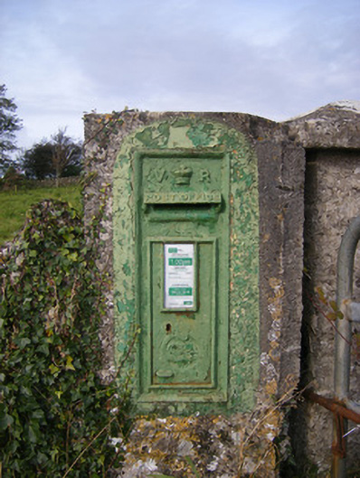 post boxpost box · 316 yd
 Cappagh Housecountry house · 582 yd
 Cappagh CastleCastle · 676 yd
 Grave YardGraveyard · 1016 yd
 Lisheenagranoge - HachuredFairy fort / earthen ringfort · 1226 yd
 Flat cemetery in CroaghFlat cemetery · 1.2 mi
 Clonshire CastleCastle · 2.0 mi
 Little HeavenHeritage attraction · 2.4 mi
 Curraghchase Forest ParkForest · 2.9 mi
 Flat cemetery in Kiltenan SouthFlat cemetery · 3.6 mi
 TobernablahySpring · 4.5 mi
 European BeechEuropean Beech · 4.9 mi