What is recorded here
Indicated is a limestone ringfort in County Limerick, Ireland, where a thirty-six-metre stone wall still encloses grass, mature trees and a rising northern rock bed. Field boundaries press against its NE, S, NW and NNW sides, while dumped boulders mark the SSW exterior. The vertical inner face and sloping outer bank suggest a place made to be seen, entered and remembered rather than merely measured.
In pasture, on SSE-facing slope in area of outcropping limestone. Roughly circular area (diam. 36m) enclosed by stone wall with vertical inner face (int. H 1.4m) and sloping bank-like outer face (ext. H 1.55m; Total Wth. 3.9m). Field boundaries abut enclosing wall at NE, S, NW and NNW. Boulders dumped against external wall face at SSW. Interior is under grass with mature trees along verges; ground rises near N end due to rock outcrop.
Compiled by: Denis Power
Date of upload: 26 August 2011
The monument record does not grant public access. Check the route and ask the landowner before entering private land.
- What survives
- Recorded monument
Places near here
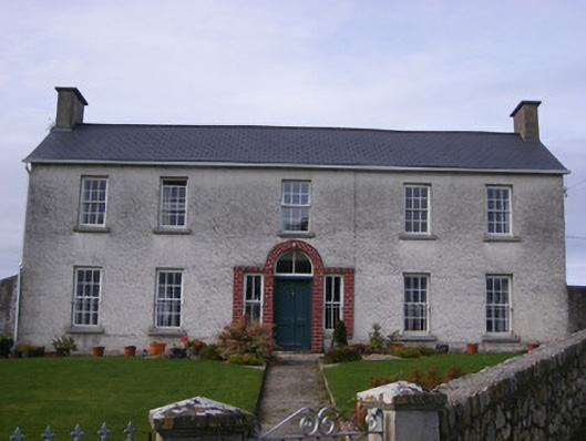 Curraheen Housecountry house · 172 yd
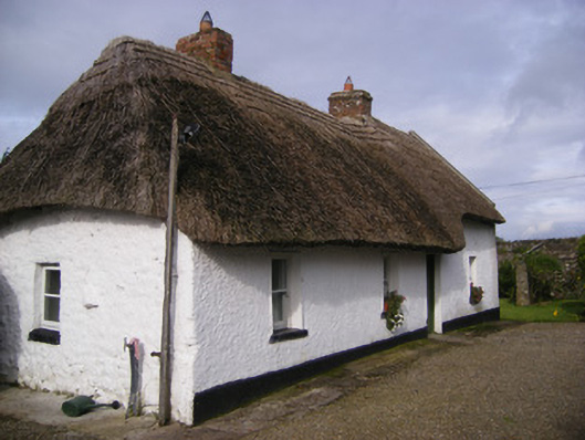 Angela's Cottagehouse · 605 yd
 Cappagh CastleCastle · 707 yd
 Burial in Curraheen SouthBurial · 750 yd
 Fulacht fia in Clogh WestFulacht fia · 1012 yd
 Flat cemetery in CroaghFlat cemetery · 1.1 mi
 Castle (in ruins)Castle, unclassified · 2.0 mi
 Little HeavenHeritage attraction · 3.1 mi
 Curraghchase Forest ParkForest · 3.6 mi
 Flat cemetery in Kiltenan SouthFlat cemetery · 3.7 mi
 TobernablahySpring · 3.8 mi
 European YewEuropean Yew · 3.9 mi