What is recorded here
Indicated is a disused well on a Kildare roadside, named St. Brigid's on a 1939 map yet stripped of tradition by later accounts. An old man once pointed to it near an ancient Liffey ford, suggesting the water served travellers crossing that shallow place. The roadside setting and forgotten name preserve more life than a grand shrine would, because they admit the well may have been useful rather than holy.
Located on the roadside and named 'St. Brigid's' on the current (1939) ed. of the OS 6-inch map, but according to Jackson (1979-80, 148), the well was not associated with any pattern or tradition, and is overgrown and disused. A second, anonymous, source (JKAS 1899-1902, 269) records that an old man pointed out St Brigid's Well 'close to the spot where the ancient ford (KD014-055----) crossed the Liffey' .
Compiled by: Gearóid Conroy
Date of upload: 10 June 2011
The monument record does not grant public access. Check the route and ask the landowner before entering private land.
- What survives
- Recorded monument
Places near here
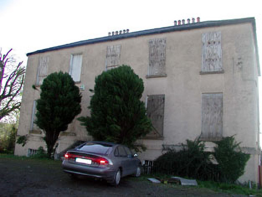 Abbeylands Houserectory/glebe/vicarage/curate's house · 364 yd
 Catholic Church of Saint Patrick and Saint Brigidchurch/chapel · 390 yd
 1798 Rebellion MemorialMemorial · 396 yd
 Venerable Fr John Sullivan MemorialMemorial · 522 yd
 BullánBullaun stone · 642 yd
 TumulusCastle, motte · 883 yd
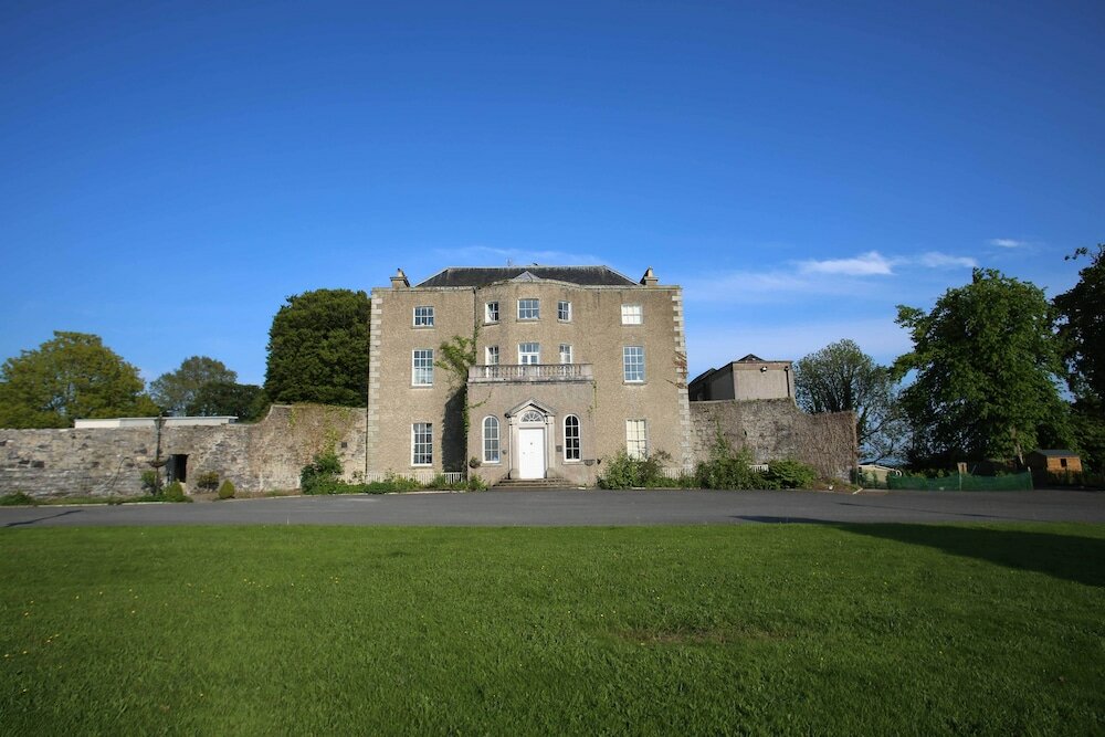 Sunday WellHoly well · 890 yd
 Dunne's IslandWood · 922 yd
 Castle (in Ruins)Castle, unclassified · 1747 yd
 Grand Canal WayWalking route · 2.7 mi
 Loughtown CovertWood · 3.3 mi
 The Kildare MazeHeritage attraction · 3.5 mi