What is recorded here
Fairy fort / earthen ringfort in Camus (St. Patricksrock parish) is a fairy fort or earthen ringfort in Camus (St. Patricksrock parish), County Tipperary, Ireland. It occupies a gentle southeast-facing slope where a 48-metre circular bank and a possible outer boundary mark the interior. The site sits beside another ringfort 62 metres to the north-northeast, with the Rock of Cashel visible on the horizon.
In improved pasture, on a gentle SE-facing slope of a broad natural ridge (long axis N-S). Rock of Cashel visible to SE. Circular area (dias. 48m) defined by bank (overall Wth 4.95m; Wth at top 1m; int. H 0.25m; ext. H 0.85m) NW-NNE which is reduced to a scarp (Wth 2.2m; H 0.6m) NNE-ENE and at S and obscured by vegetation elsewhere. Scarp (Wth 2.2m; H 1.1m) is best defined on downslope at ENE. Entrance gap (Wth 3.5m) at N and occasional breaches in bank and scarp by livestock. Fosse (overall Wth 6.2-6.3m; basal Wth 1.5-3m; D 0.1-0.15m) appears infilled at NNW and is obscured by dense vegetation E-S-W. Faint trace of a possible outer bank (overall Wth 8-8.4m; Wth at top 3.5-4m; int. H 0.1-0.15m; ext. H 0.2-0.3m) S-NE, but this may be a former field boundary as depicted on latest edition OS 6-inch map. Interior is generally level. Ringfort (TS060-027----) 62m to NNE.
Compiled by: Jean Farrelly
Date of upload: 26 August 2011
The monument record does not grant public access. Check the route and ask the landowner before entering private land.
- What survives
- Recorded monument
Places near here
 IndicatedEnclosure · 375 yd
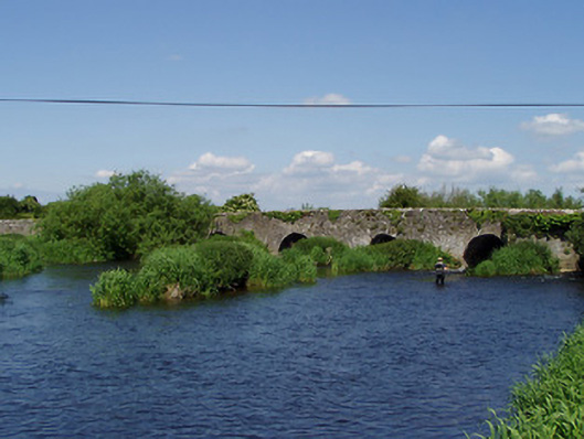 Camus Bridgebridge · 969 yd
 Camus Br.Bridge · 974 yd
 Camus Castle (in ruins)Castle, unclassified · 1038 yd
 Site of ChurchChurch · 1414 yd
 Castle in RuinsHouse, fortified house · 1.3 mi
 Hore AbbeyHeritage attraction · 1.7 mi
 Rock of CashelHeritage attraction · 1.8 mi
 The Rock Of CashelVisitor information · 1.9 mi
 Black mulberryBlack mulberry · 2.0 mi
 European ashEuropean ash · 3.6 mi
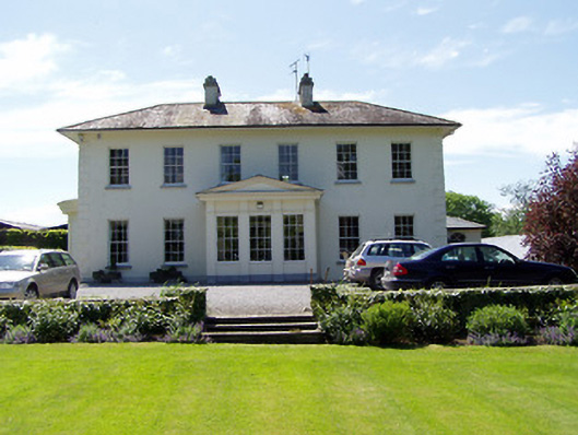 Camus Parkcountry house · 1015 yd