What is recorded here
Indicated is a phantom mound in County Roscommon, marked on an 1837 map but absent from the land. That gap transforms a missing hill into a living paradox: human memory shaped the landscape before measurement could answer it. The mound may have been imagination, mistake or forgotten truth.
There is no evidence of the mound (diam. c. 15m) marked just NW of the centre of rath (RO08B001001-) on the 1837 ed. of the OS 6-inch map (MA 63).
Compiled by: Michael Moore
Date of upload: 24 August 2010
The monument record does not grant public access. Check the route and ask the landowner before entering private land.
- What survives
- Recorded monument
Places near here
 Man-made underground passage in Calveagh LowerMan-made underground passage · 17 yd
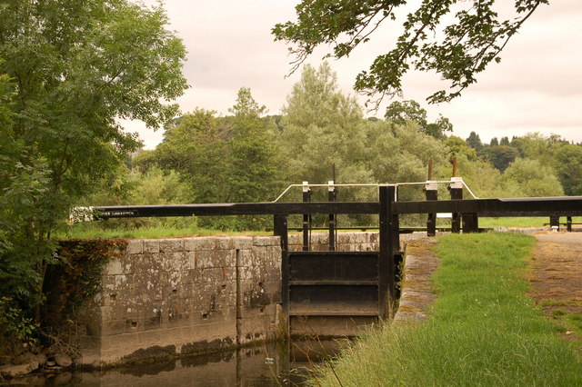 Embanked enclosureFairy fort / stone ringfort · 722 yd
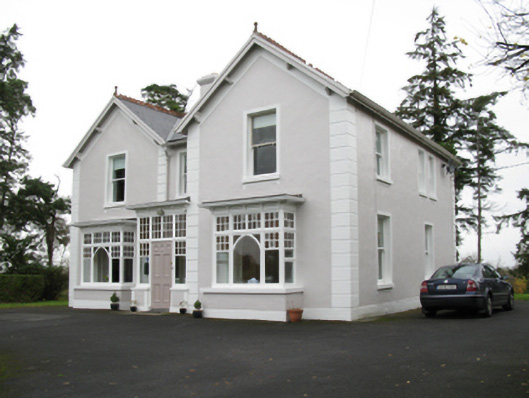 presbytery/parochial/curate's housepresbytery/parochial/curate's house · 1239 yd
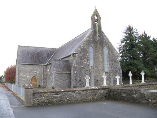 Saint James's Catholic Churchchurch/chapel · 1329 yd
 Old Cave Burial GroundArchaeological place · 1.9 mi
 Bockagh HillMountain / peak · 3.7 mi
 Casatle (ruins)Castle, unclassified · 5.6 mi
 CastleCastle, unclassified · 6.3 mi
 East Mayo Brigade MonumentMemorial · 9.7 mi
 Crow IslandIslet · 9.8 mi
 Castle PointHeadland · 10 mi
 Inch IslandIslet · 10 mi