What is recorded here
Indicated is a ruined circular rath on a south-facing Galway slope, its twenty-seven-metre boundary reduced to a shallow scarp in grassland. A buried chamber remains hidden inside the flat circle, waiting for rain or memory to reveal its shape. The fort has lost most of its wall, yet it still marks the edge between ordinary field and forgotten life.
On a S-facing slope in grassland. Very poorly preserved circular rath (D 27.8m) defined by a scarp. Within the interior is a CBG (GA059-007----)
The above description is derived from the published 'Archaeological Inventory of County Galway Vol. II - North Galway'. Compiled by Olive Alcock, Kathy de hÓra and Paul Gosling (Dublin: Stationery Office, 1999).
Date of upload: 05 August 2010
The monument record does not grant public access. Check the route and ask the landowner before entering private land.
- What survives
- Recorded monument
Places near here
 Church in Killamude WestChurch · 1359 yd
 Mass-rock in Killamude EastMass-rock · 1.3 mi
 Menlough IRAMemorial · 1.3 mi
 mill (water)mill (water) · 1.3 mi
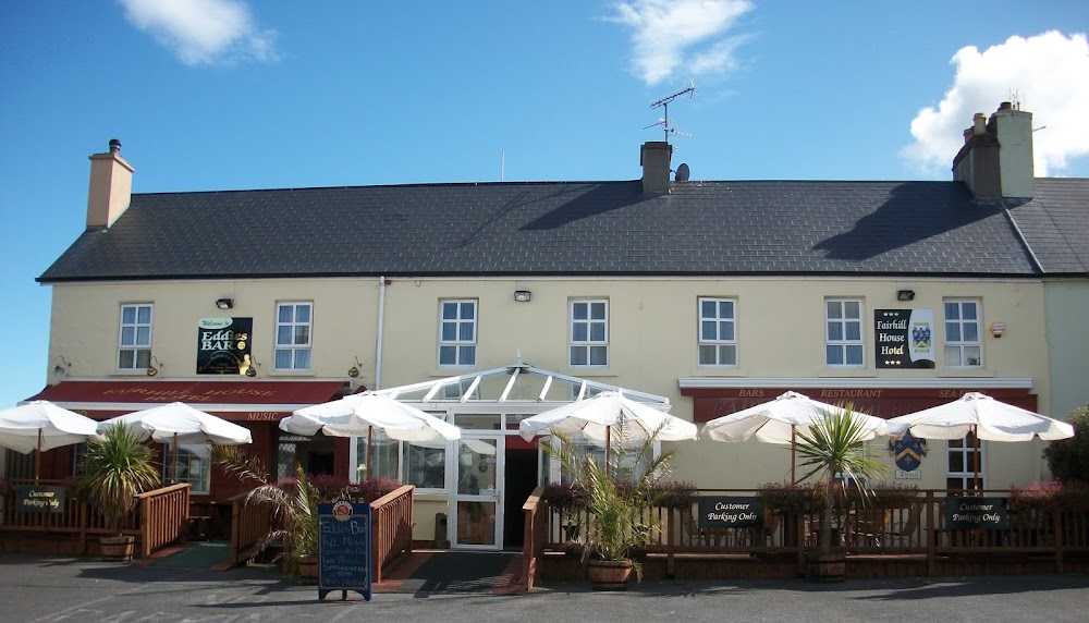 Enclosure in FairhillEnclosure · 1.4 mi
 Garbally Castle (in ruins)Castle, tower house · 3.5 mi
 Castle (Site of)Castle, unclassified · 3.6 mi
 SycamoreSycamore · 4.1 mi
 Mountbellew ForestForest · 4.1 mi
 Kilconnell AbbeyHeritage attraction · 8.1 mi
 Knockmoy AbbeyHeritage attraction · 8.2 mi
 Battle of Aughrim Interpretative CentreMuseum · 12 mi