What is recorded here
Located on a level landscape, with a N-S section of the Pinkeen River c. 120m to the W. Aerial photograph (GB89.AE.08) shows the cropmark of a circular enclosure (diam. c. 20m) defined by a fosse.
Compiled by: Dr Gillian Barrett for the Archaeological Survey of Ireland.
Date of upload: 10 June 2009
The monument record does not grant public access. Check the route and ask the landowner before entering private land.
- What survives
- Recorded monument
Places near here
 Enclosure in CalliaghweeEnclosure · 377 yd
 Enclosure in PowerstownEnclosure · 654 yd
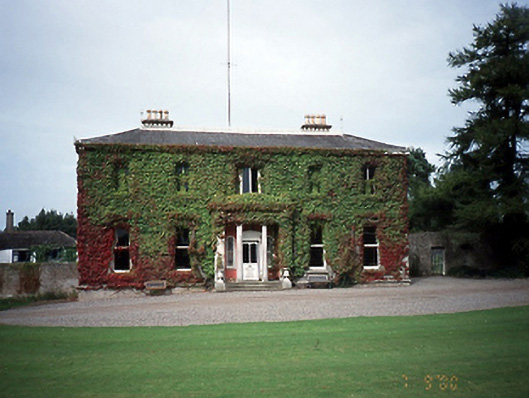 Tyrrelstown Housecountry house · 1.3 mi
 TyrrelstownWood · 1.3 mi
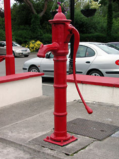 water pumpwater pump · 1.5 mi
 Wesley's WoodsWood · 1.5 mi
 Graveyard in BuzzardstownGraveyard · 1.8 mi
 Kilbride MoatCastle, motte · 2.3 mi
 Blanchardstown Centre information deskVisitor information · 2.7 mi
 Church, GraveyardChurch · 3.0 mi
 Depicted Kilshane MoatCastle, motte · 3.4 mi
 Griffeen Valley WalkWalking route · 5.8 mi