What is recorded here
Indicated is a stone-faced ringfort atop a West Cork ridge, its western half still standing at thirty-three metres across while the eastern bank has surrendered to pasture and fence. The shallow fosse barely whispers beneath the grass, yet the levelled earth still shadows the sky when viewed from above. People may have lived inside that circle before forgetting it, leaving only a name and a ridge-line marker behind.
In pasture, atop ridge (NE-SW). W half of enclosure survives in field fence system (diam. 33m); earthen, stone-faced bank (H 2.2m), with shallow external fosse (D 0.2m). Levelled bank and fosse visible from air (GSAP).
The above description is derived from the published 'Archaeological Inventory of County Cork. Volume 1: West Cork' (Dublin: Stationery Office, 1992). In certain instances the entries have been revised and updated in the light of recent research.
Date of upload/revision: 14 January 2009
The monument record does not grant public access. Check the route and ask the landowner before entering private land.
- What survives
- Recorded monument
Places near here
 Burial ground in MishellsBurial ground · 807 yd
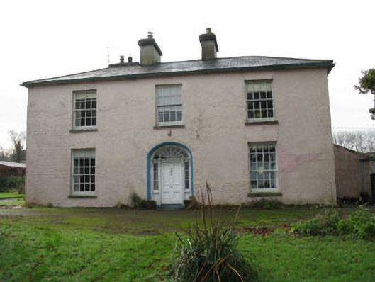 Riverviewcountry house · 1173 yd
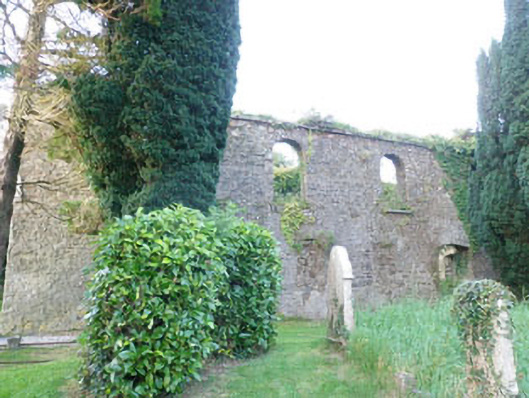 Kilbrogan Catholic Chapelchurch/chapel · 1208 yd
 Man-made underground passage in CurrycloghMan-made underground passage · 1277 yd
 Bandon War MemorialMemorial · 1.4 mi
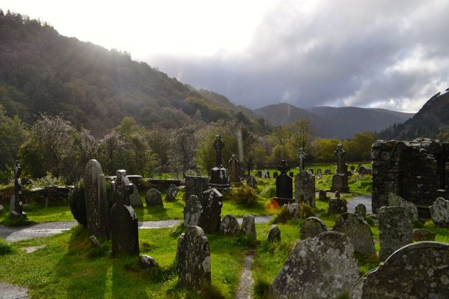 Graveyard in GullyGraveyard · 1.5 mi
 Cottage Road WoodWood · 2.1 mi
 Carbury's WellSpring · 2.2 mi
 Mount Pleasant WoodWood · 2.3 mi
 Towers (in Ruins)House, fortified house · 3.9 mi
 Carrighnassig Castle (Site of)Castle, unclassified · 5.1 mi
 Marie LouiseWreck · 5.1 mi