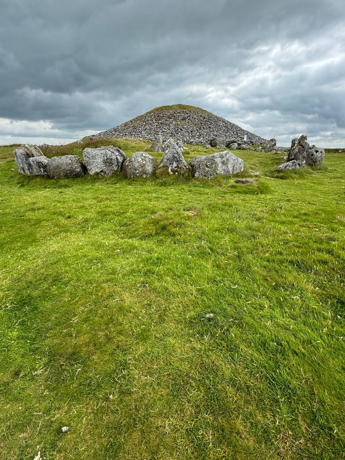
What is recorded here
Six metres of purple conglomerate and sandstone once rose in Baunteen, but fence builders took the stones before Westropp finished his second account. The ground holds no marker now, only a north-west slope where the Galtee Mountains still wear the name of Cliach and herp strings. What was buried there has gone with the stones, leaving a clean absence that is easier to imagine than to find.
Situated on the S-facing slope of Knockea in rolling pasture with good views in all directions. Much quarrying has taken place in the field. Partial oval area (diam. 7m E-W) enclosed from E to W by at least seven boulders.
A Neolithic cairn; partially preserved with an enclosure of at least seven boulders. Its location suggests it may have been part of a wider ritual landscape, though quarrying has significantly impacted the site.
The monument record does not grant public access. Check the route and ask the landowner before entering private land.
- What survives
- Recorded monument
Places near here
 Burial ground in KnockeaBurial ground · 282 yd
 Not indicated, 394 ft. ODSettlement cluster · 317 yd
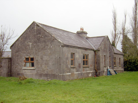 outbuilding, stablesoutbuilding, stables · 407 yd
 Edwardstown Housecountry house · 888 yd
 Ballynagarde Ho.Castle, tower house · 1308 yd
 ToberauillinSpring · 1727 yd
 Bawn in Raheen (clanwilliam By., Roxborough Ed)Bawn · 1.0 mi
 Carnane RockNamed rock · 2.0 mi
 Limerick Seamen's MemorialMemorial · 5.4 mi
 Saint John Paul IIMemorial · 5.4 mi
 European ashEuropean ash · 5.6 mi
 St. Patrick's WellSpring · 8.6 mi
Other information
Photo: Credit not shown in the picture search · Rights wording not checked; contact us if this picture should be removed