What is recorded here
Situated on an elevated saddle on a ridge between Keadeen (to the N) and Carrig Mountain (to the S) with extensive views to the W. Denuded circular cairn (diam. c. 18m; H 0.5m) defined in part by large granite boulders forming a rough arc at the NW. The central and SE portion is robbed-out and is covered with peat. The adjacent field wall (to the W) takes an abrupt detour around the site and suggests the site may originally have been larger (up to c. 25m in diam.).
The above description is derived from the published 'Archaeological Inventory of County Wicklow' (Dublin: Stationery Office, 1997). In certain instances the entries have been revised and updated in the light of recent research.
Date of upload/revision: 17 December 2008
The monument record does not grant public access. Check the route and ask the landowner before entering private land.
- What survives
- Recorded monument
Places near here
 Keadeen MountainMountain / peak · 877 yd
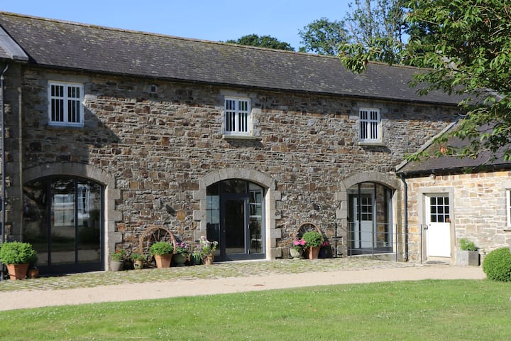 Enclosure in KelshabegEnclosure · 1642 yd
 SlievereaghMountain / peak · 1.4 mi
 Dwyer McAllister CottageMuseum · 1.4 mi
 Dwyer-McAllister Cottagefarm house · 1.4 mi
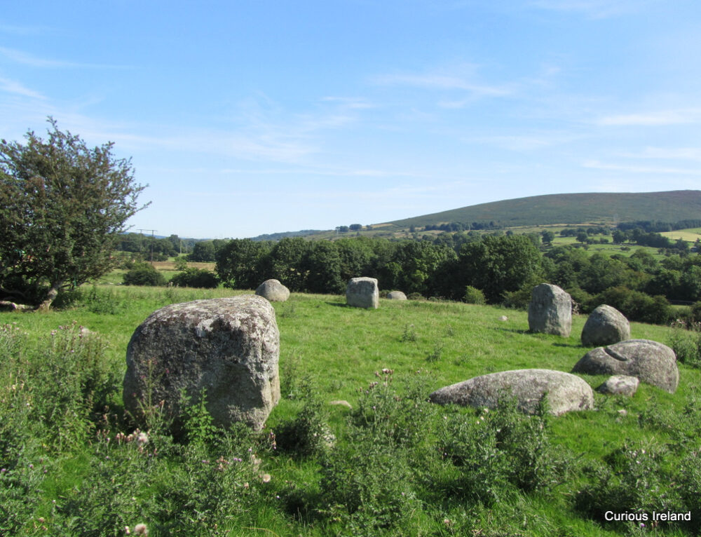 Crossoona RathFairy fort / earthen ringfort · 1.5 mi
 Castle in ruinsCastle, unclassified · 1.6 mi
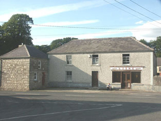 Byrnehouse · 2.1 mi
 Saint Brigit's ChairNamed rock · 2.1 mi
 Sam McAllistair GraveMemorial · 2.2 mi
 Saint Brigit's Mass StoneNamed rock · 2.3 mi
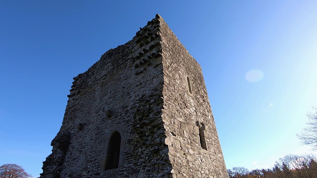 CastleCastle, motte · 2.6 mi