
What is recorded here
Cairn, a flat-topped Neolithic structure in County Cork built around 3000 BC, still stands nineteen metres across and two metres high. Tradition holds that people gathered there for midwinter festivals, perhaps watching the shortest darkness turn back into light. You can still walk past its stones and imagine that old crowd waiting for the sun to return.
On gravel knoll on SW slopes Maughanaclea Hills. Roughly oval cairn (H 0.9m; 0.7m E-W; 3.4m N-S). Graveyard (CO106-01201-) nearby to E.
The above description is derived from the published 'Archaeological Inventory of County Cork. Volume 1: West Cork' (Dublin: Stationery Office, 1992). In certain instances the entries have been revised and updated in the light of recent research.
Date of upload/revision: 14 January 2009
The monument record does not grant public access. Check the route and ask the landowner before entering private land.
- What survives
- Recorded monument
Places near here
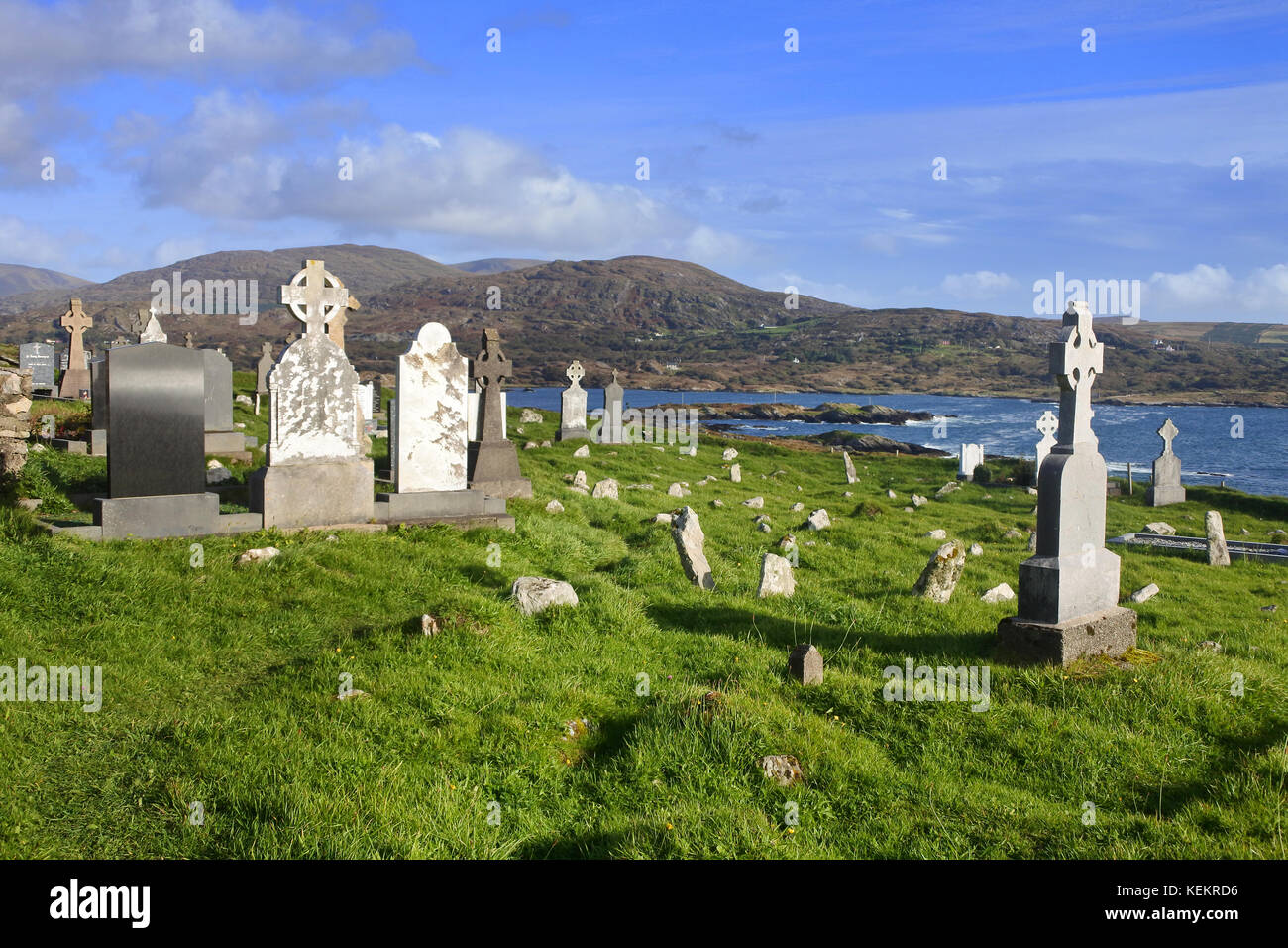 Burial Gd (Disused)Burial ground · 41 yd
 Radial-stone enclosure in MaughanacleaRadial-stone enclosure · 504 yd
 St Finbarr's Pilgrim RouteWalking route · 669 yd
 MillMill, fulling · 1512 yd
 Carding MillMill, carding · 1543 yd
 Kealkill stone circleVisitor information · 1.8 mi
 Carriganass CastleCastle · 2.1 mi
 KnockbreteenMountain / peak · 2.3 mi
 Bulls PocketMountain / peak · 2.9 mi
 Castle Donovan (in Ruins)Castle, tower house · 4.6 mi
 Daly's LoopWalking route · 5.1 mi
 Coomhola Salmon Trust (Streamscapes)Museum · 5.4 mi
Other information
Photo: Credit not shown in the picture search · Rights wording not checked; contact us if this picture should be removed