
What is recorded here
On bog-covered N-facing slope near W end of Maughanaclea hills. Much of structure remains concealed in peat. Thirteen raidally set stones (H c. 0.5m) define level area 12.6m in diameter. Gaps between these stones filled by others set along circumference and wall thus formed has a minimum width of 0.5m. A four-poster monument (CO106-010---) stands 90m to the SW. (Ó Nualláin 1984b, 78, no. 21)
The above description is derived from the published 'Archaeological Inventory of County Cork. Volume 1: West Cork' (Dublin: Stationery Office, 1992). In certain instances the entries have been revised and updated in the light of recent research.
Date of upload/revision: 14 January 2009
The monument record does not grant public access. Check the route and ask the landowner before entering private land.
- What survives
- Recorded monument
Places near here
 CairnCairn, unclassified · 504 yd
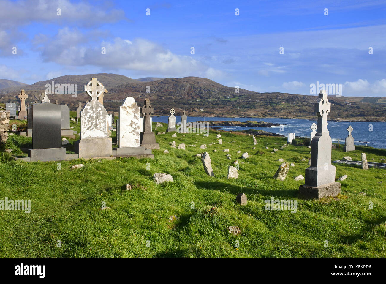 Burial Gd (Disused)Burial ground · 544 yd
 St Finbarr's Pilgrim RouteWalking route · 875 yd
 MillMill, fulling · 1.0 mi
 Carding MillMill, carding · 1.1 mi
 Kealkill stone circleVisitor information · 1.9 mi
 Carriganass CastleCastle · 2.2 mi
 KnockbreteenMountain / peak · 2.5 mi
 Mullach MéiseMountain / peak · 2.8 mi
 Castle Donovan (in Ruins)Castle, tower house · 4.3 mi
 Daly's LoopWalking route · 5.1 mi
 Francis O'Neill PlaqueMemorial · 5.2 mi
Other information
Photo: Credit not shown in the picture search · Rights wording not checked; contact us if this picture should be removed