What is recorded here
Cairn stands on a river fork near Clonaslee, where the Barrow and Clodiagh join. It is a mound holding a circle of sandstones, marking the exact point where two waters become one. The stones do not decorate the land; they witness the meeting of the rivers.
Unlocated Cairn in the vicinity of Clonaslee village (Roe, H. A Record of Archaeological Discovery, p. 10, unpublished report in Laois County Library.) Described in the report as a mound with a circle of sandstones within it, the whole situated on a fork where two rivers join (ie. River Barrow and Clodiagh join) down stream from Tinnehinch Bridge.
Compiled by: Caimin O'Brien
Date of upload: 17 December 2007
A Neolithic cairn, likely dating to the 4th–3rd millennium BCE; its significance lies in contributing to the understanding of early burial and ritual practices in the Clonaslee area.
The monument record does not grant public access. Check the route and ask the landowner before entering private land.
- What survives
- Recorded monument
Places near here
 Saint Manman's Catholic Churchchurch/chapel · 112 yd
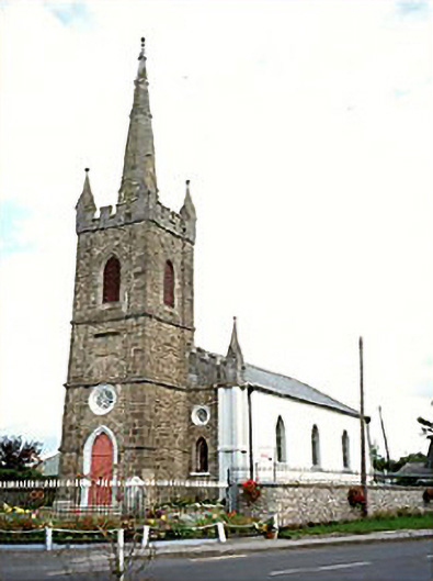 Clonaslee Heritage Centrechurch/chapel · 282 yd
 Ballynakill Castle (ruins)Castle · 400 yd
 Kilmanman church (in Ruins), GraveyardChurch · 1.2 mi
 Ecclesiastical enclosure in KilmanmanEcclesiastical enclosure · 1.2 mi
 IndicatedEnclosure · 1.2 mi
 Turrets (in Ruins)Bawn · 1.7 mi
 Slieve Bloom MountainsMountain range · 3.9 mi
 Mullagh HillMountain / peak · 3.9 mi
 Church (in Ruins), Graveyard, CarrigeenChurch · 4.3 mi
 Red HillMountain / peak · 4.3 mi
 Derryad WoodForest · 4.9 mi