What is recorded here
Cairn is a vanished Galway hilltop marker, remembered only through a lost stone circle and the mossy evidence McCaffrey recorded before the land changed. It may have been a prehistoric boundary or a farmer’s careless dump, but the hilltop setting and ancient growth suggest human hands shaped it long before modern fields. The loss is not empty because the description still gives the place back: a small stone ring on an open ridge, waiting to be imagined rather than measured.
On a hillock. Classified by McCaffrey (1952, 16, no. 140) as a ‘bowl-barrow’ but his description is that
of a cairn of stones (diam. 12.2m; H 2.4m), bounded from S to W by a field wall. McCaffrey (ibid.) referred to numerous dumps of field stones in the locality but felt that this particular cairn was not of recent origin due to the fact that ‘the stones of the lower part are grass- and moss-grown’. He also felt that its hilltop setting also argued that it could be prehistoric in date but noted that only excavation would determine that. No visible surface trace survives.
Compiled by: Galway Archaeological Survey, UCG
Date of upload: 12 November 2019
A Neolithic cairn, likely dating to the Early to Middle Bronze Age, representing a common form of funerary monument in the region. Its classification as a bowl-barrow may reflect later interpretative confusion, but it contributes to understanding local burial practices.
The monument record does not grant public access. Check the route and ask the landowner before entering private land.
- What survives
- Recorded monument
Places near here
 Cloghroak Castle (in ruins)Castle, tower house · 574 yd
 IndicatedFairy fort / earthen ringfort · 988 yd
 MonksfieldCountry house · 1306 yd
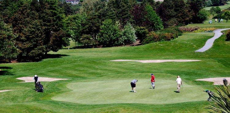 Field system in Ballybaun (dunkellin By.)Field system · 1758 yd
 Ardnamoran ChurchChurch · 1.2 mi
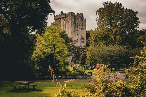 Bawn in CastleparkBawn · 2.4 mi
 Drumharsna CastleHeritage attraction · 4.4 mi
 HawthornHawthorn · 5.0 mi
 European ashEuropean ash · 5.0 mi
 Mulroney's IslandIslet · 8.0 mi
 Mweenish PointHeadland · 8.8 mi
 Traught BeachBeach / strand · 9.4 mi