What is recorded here
Cairn is an unclassified grass-covered mound of loose stone, one metre high and eight by six metres across, beside a hut on a low limestone outcrop in County Kerry. It sits in a reclaimed field south of a larger complex, offering splendid views especially towards the south. The mound may mark a buried chamber, a boundary, or a forgotten ceremony, but no clear function has been recorded.
'Situated on top of a low limestone outcrop in a reclaimed field on the immediate south side of the above complex [KE038-147---- to KE038-153----]. This reef affords splendid views on all sides, but especially towards the south.....on the immediate western side of [Hut KE038-146----] is a 1.00m high grass-covered mound of what appears to be loose stone. This mound is 8.00m N-S by 6.00m E-W.'
Compiled by Michael Connolly for the Archaeological Survey of Ireland as part of a survey of the Lee Valley area in 1996-97.
Date of upload: 30 April 2012
The monument record does not grant public access. Check the route and ask the landowner before entering private land.
- What survives
- Recorded monument
Places near here
 Hut site in BallymacthomasHut site · 1 yd
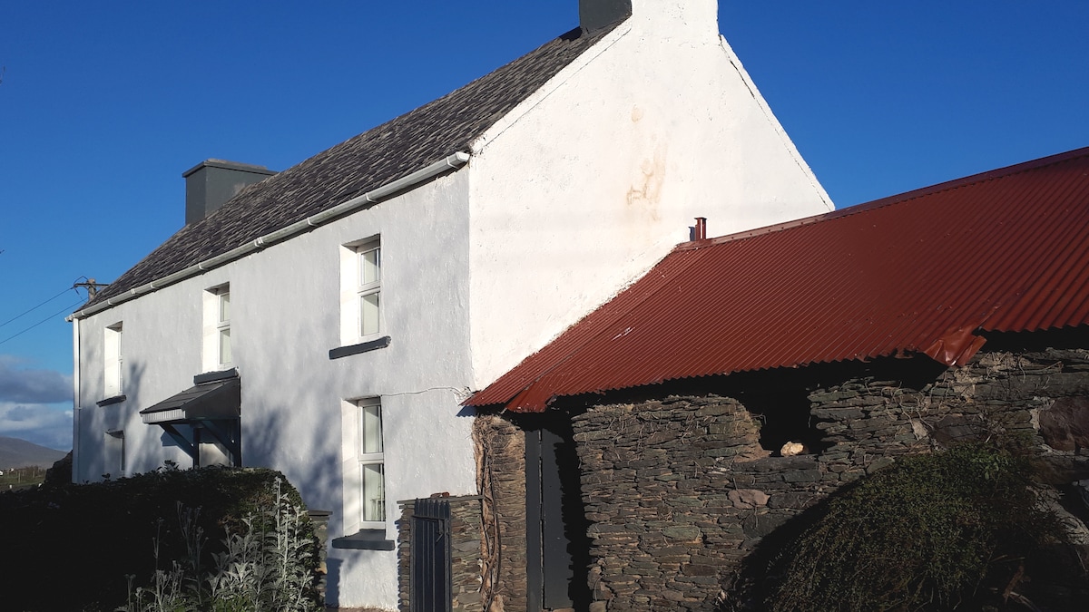 Enclosure in BallymacthomasEnclosure · 205 yd
 IndicatedCastle, unclassified · 378 yd
 Common AlderCommon Alder · 1004 yd
 Ballyseede Castlegates/railings/walls · 1110 yd
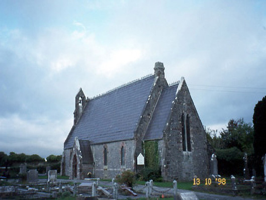 Ballyseedy Churchchurch/chapel · 1241 yd
 Ballyseede Castle HotelCastle · 1457 yd
 Monument WoodWood · 1.0 mi
 PoulatouirtCave · 1.4 mi
 Poulclashcannon (blocked)Cave · 1.5 mi
 Civil War MemorialMemorial · 2.9 mi
 Crimea Cannon and War MemorialMonument · 3.4 mi