
What is recorded here
'Situated on top of a low limestone outcrop in a reclaimed field on the immediate south side of the above complex [KE038-147---- to KE038-153----]. This reef affords splendid views on all sides, but especially towards the south. This hut site takes the form of a central depression, 6.00m N-S by 4.00m E-W and 0.50m in depth, surrounded by a now grass covered bank of stone, averaging 4.00m in width and being 0.35m in height. A possible 2.00m wide entrance occurs at the northern side, but is now much denuded.'
Compiled by Michael Connolly for the Archaeological Survey of Ireland as part of a survey of the Lee Valley area in 1996-97.
Date of upload: 30 April 2012
The monument record does not grant public access. Check the route and ask the landowner before entering private land.
- What survives
- Recorded monument
Places near here
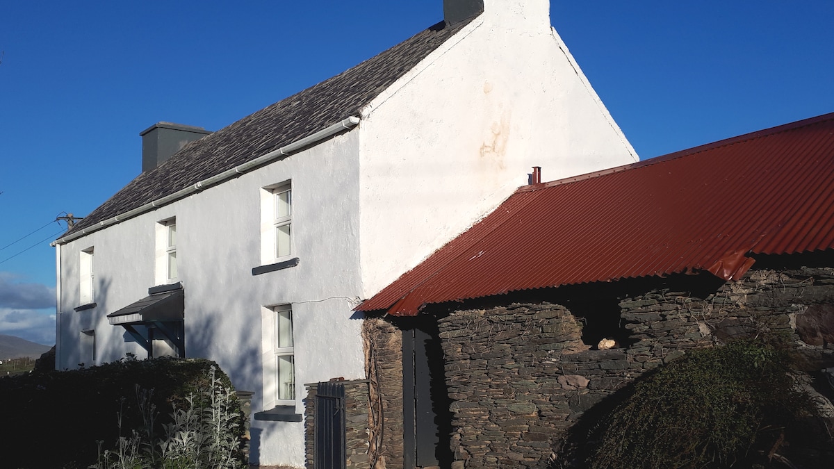 Enclosure in BallymacthomasEnclosure · 205 yd
 IndicatedCastle, unclassified · 378 yd
 Enclosure in BallindooganigEnclosure · 617 yd
 Common AlderCommon Alder · 1004 yd
 Ballyseede Castlegates/railings/walls · 1110 yd
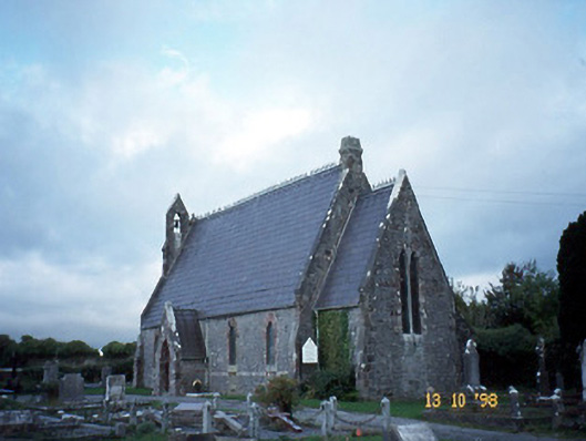 Ballyseedy Churchchurch/chapel · 1241 yd
 Ballyseede Castle HotelCastle · 1457 yd
 Monument WoodWood · 1.0 mi
 PoulatouirtCave · 1.4 mi
 Poulclashcannon (blocked)Cave · 1.5 mi
 Civil War MemorialMemorial · 2.9 mi
 Crimea Cannon and War MemorialMonument · 3.4 mi
Other information
Photo: Credit not shown in the picture search · Rights wording not checked; contact us if this picture should be removed