What is recorded here
Half a metre of stone in a Kerry field, yet the shape is exact: a shallow bowl with a hollow throat at its centre. Build that and you admit the land can still hold a chamber, a cache or a prayer. The LFU is no longer a vague smudge, but a small complete vessel waiting to be read.
'In the same large amalgamated field as the above site [KE038-091----], on a similar limestone reef is a low sub-circular stone-filled mound, 0.30m in maximum height and measuring 7.00m N-S by 6.00m E-W. A central depression measuring 2.00m N-S by 1.00m E-W is located 0.20m below the crest of the mound.'
Compiled by Michael Connolly for the Archaeological Survey of Ireland as part of a survey of the Lee Valley area in 1996-97.
Date of upload: 30 April 2012
The monument record does not grant public access. Check the route and ask the landowner before entering private land.
- What survives
- Recorded monument
Places near here
 Enclosure in BallindooganigEnclosure · 300 yd
 Hut site in BallymacthomasHut site · 553 yd
 IndicatedCastle, unclassified · 656 yd
 Common AlderCommon Alder · 1202 yd
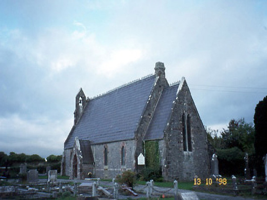 Ballyseedy Churchchurch/chapel · 1263 yd
 Ballyseede Castlegates/railings/walls · 1267 yd
 Bealagrellagh CastleCastle · 1375 yd
 Monument WoodWood · 1.0 mi
 PoulatouirtCave · 1.7 mi
 Poulclashcannon (blocked)Cave · 1.8 mi
 Civil War MemorialMemorial · 2.9 mi
 Scotia's GraveArchaeological place · 3.4 mi