What is recorded here
In good level pasture, at edge of downward slope to W and high ground to E. Square-shaped area (39.6m N-S; 40m E-W), enclosed by stone wall (H 1.8m; Wth 0.9m), rebuilt in places. Modern gate in NE. Blocked Man-made underground passage (MA120-007002-) in NW of interior.
The above description has been derived from D. Lavelle (compiler), An Archaeological Survey of Ballinrobe and District including Lough Mask and Lough Carra. Lough Mask and Lough Carra Tourist Development Association (1994), No. 262.
Date of upload: 24 February 2014
A local fairy fort (ringfort/rath); wider significance not recorded.
The monument record does not grant public access. Check the route and ask the landowner before entering private land.
- What survives
- Recorded monument
Places near here
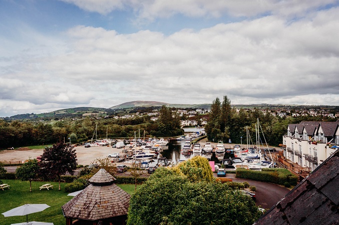 IndicatedEnclosure · 947 yd
 Loughmask Housegate lodge · 1136 yd
 Enclosure in KnocknamucklaghEnclosure · 1317 yd
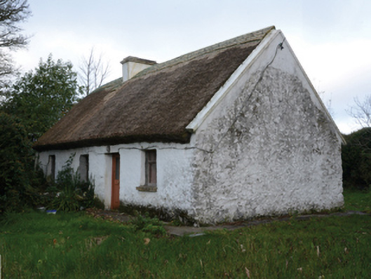 farm housefarm house · 1758 yd
 Loughmask CastleCastle · 1.2 mi
 Loughmask Castle in ruinsCastle, tower house · 1.2 mi
 LabbadermotCave · 1.6 mi
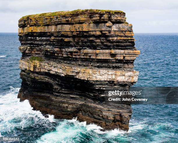 Long RockIslet · 1.7 mi
 Long IslandIslet · 2.0 mi
 European ashEuropean ash · 2.9 mi
 Quiet Man MuseumMuseum · 3.0 mi
 Cong AbbeyHeritage attraction · 3.0 mi