What is recorded here
Cahernamuck West holds a rectangular moated site where a tower house later crushed the ancient earthworks. The shallow leat still hints at water redirected for life or mischief, while a collapsed bawn wall and hidden house corner wait beneath pasture. This is not a dead shape but a layered home, built, changed and forgotten across centuries.
In pastureland, c. 40m to the NE of the St Cleran’s River. This rectangular moated site (34m E-W; 25.5m N-S), in fair condition, is defined by two banks and an intervening fosse. A shallow fosse at the NW corner, which runs W via a breach in the outer bank, is possibly a leat. A tower house (GA097-051----) overlies the enclosing elements at SE. A collapsed stone wall running along the inner bank may be the remains of a bawn wall (GA097-051002-). Within the interior a possible house site (GA097-051003-) is visible in the NE corner. A later small rectangular field, which is defined by stone wall that runs along the W and N sides of the inner bank, is planted with trees. A possible N-S running internal division, defined by a low bank, extends off the inner banks at S.
Compiled by: Galway Archaeological Survey, UCG
Date of upload: 2 December 2019
This monument is subject to a preservation order made under the National Monuments Acts 1930 to 2014 (PO no. 5/1991).
The monument record does not grant public access. Check the route and ask the landowner before entering private land.
- What survives
- Recorded monument
Places near here
 Bawn in Cahernamuck WestBawn · 9 yd
 Enclosure in Cahernamuck WestEnclosure · 43 yd
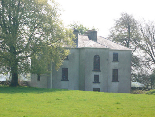 Lynchfort Househouse · 423 yd
 Man-made underground passage in Cahernamuck WestMan-made underground passage · 560 yd
 Raruddy Castle (in ruins)Castle, tower house · 1024 yd
 Old Mill[Mill, corn · 1.1 mi
 Turoe StoneHeritage attraction · 2.1 mi
 Barrack IslandIslet · 2.1 mi
 Middle IslandIslet · 2.2 mi
 Long PointHeadland · 3.0 mi
 Dartfield Horse MuseumHeritage attraction · 4.5 mi
 Scalpeen RockNamed rock · 7.3 mi