What is recorded here
Toberacaher is a well inside a broken Galway ringfort, still dropping water while the stone wall around it has forgotten its own shape. The fort measures thirty-nine metres across, holds two grassed house shadows in its northern half, and keeps a southern gap wide enough for a cart or a decision. People may have drunk from that well before they stopped building the wall, which would make the water older than the pride that tried to own it.
In level grassland. Poorly preserved circular ringfort (D 39m) defined by a bank of collapsed stone and earth. A gap (Wth 3.5m) at S may be original. A well marked on OS 6-inch maps as 'Toberacaher' is located in SSW sector of the interior and appears to be secular in function. Also within the N half are the remains of two rectangular grassed-over stone structures (E-W; L c. 7m, Wth c. 6m); possible houses.
The above description is derived from the published 'Archaeological Inventory of County Galway Vol. II - North Galway'. Compiled by Olive Alcock, Kathy de hÓra and Paul Gosling (Dublin: Stationery Office, 1999).
Date of upload: 05 August 2010
The monument record does not grant public access. Check the route and ask the landowner before entering private land.
- What survives
- Recorded monument
Places near here
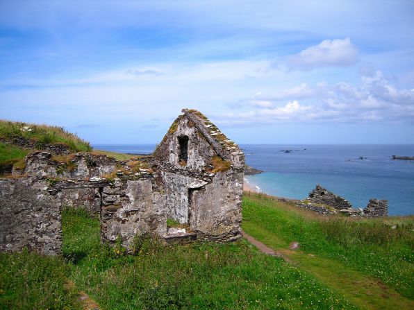 Settlement desertedSettlement deserted, medieval · 869 yd
 CashlaundarraghCastle · 1343 yd
 Enclosure in Stonepark (ballymoe By.)Enclosure · 1376 yd
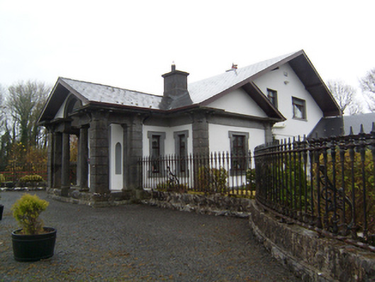 Ryehillgate lodge · 1.5 mi
 Church (in Ruins)Church · 1.9 mi
 Knockmoy AbbeyHeritage attraction · 2.2 mi
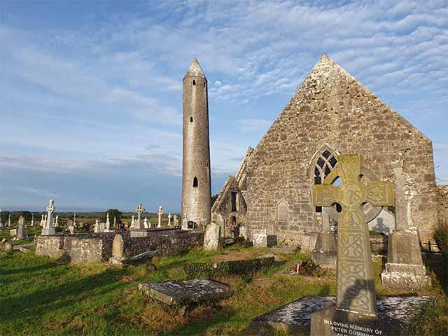 Killaclogher CastleCastle · 2.2 mi
 SycamoreSycamore · 2.5 mi
 Common WhitebeamCommon Whitebeam · 2.5 mi
 Menlough IRAMemorial · 6.2 mi
 Mass RockNamed rock · 12 mi
 St. Bernards WellHoly well · 1.0 mi