What is recorded here
Indicated was a circular fairy fort in County Limerick, erased before human memory could keep its shape. A field boundary now cuts through the place where its wall stood, turning ancient margin into ordinary farm line. The land retains no visible mark, yet the name still points to a shape someone once believed worth remembering.
In undulating pasture, on gentle ENE-facing slope. Monument, depicted on 1923 OS 6-inch map as circular enclosure (diam. c. 25m), has been levelled. No trace of monument evident when inspected. Field boundary, not shown on 1923 OS 6-inch map, now crosses area of site on NE-SW axis.
Compiled by: Denis Power
Date of upload: 26 August 2011
The monument record does not grant public access. Check the route and ask the landowner before entering private land.
- What survives
- Recorded monument
Places near here
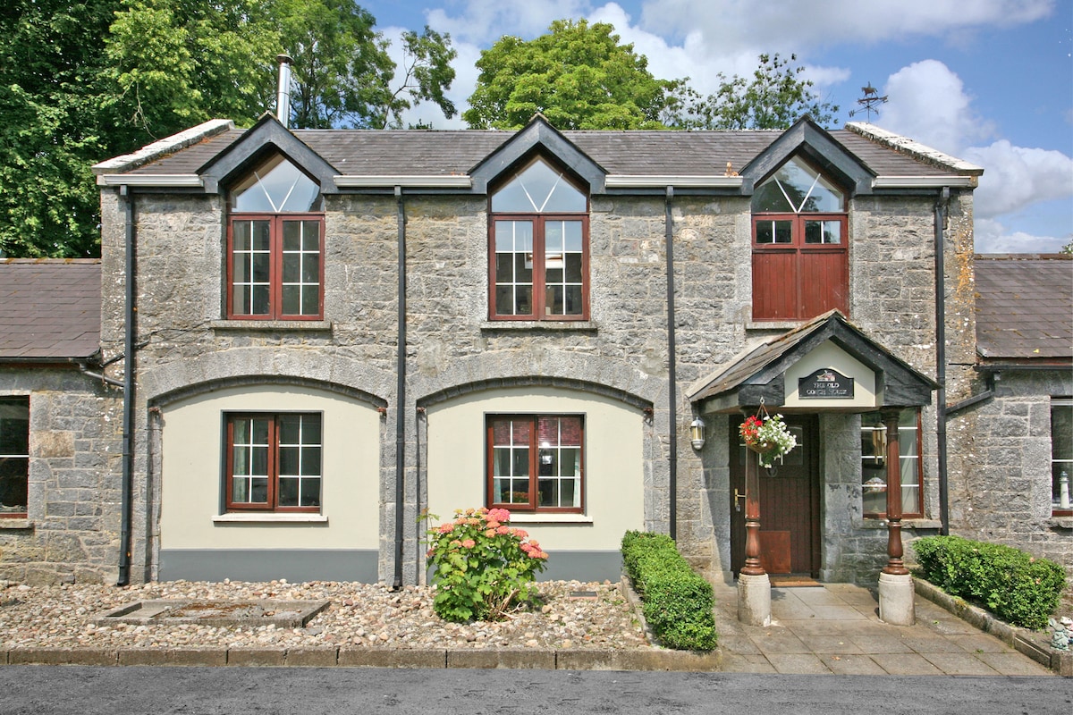 Enclosure in CahermoyleEnclosure · 293 yd
 KyleArchaeological place · 324 yd
 CahermoyleCastle, unclassified · 611 yd
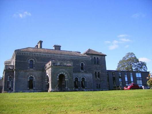 Cahermoyle Housecountry house, church/chapel · 749 yd
 St. Luke's WellSpring · 900 yd
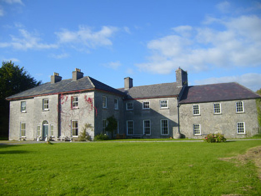 Glenville Housecountry house · 974 yd
 Castle (in ruins)Castle, tower house · 1.0 mi
 St. Kieran's WellSpring · 2.2 mi
 European ashEuropean ash · 4.5 mi
 Limerick GreenwayWalking route · 5.2 mi
 Sugar HillMountain / peak · 6.9 mi
 Gammarel PointHeadland · 7.6 mi