What is recorded here
Caherkeegane is a stone ringfort in County Cork, Ireland. It is not a fairy fort, despite the old name. The wall is three metres high on the outside and two metres high on the inside. A narrow ledge runs along the inner face, just below the top. The wall collapses in places and has been partially repaired. The fort sits on a shallow slope facing north-northeast. It measures twenty-nine metres north-south and twenty-eight metres east-west. The shape is almost circular. The stones are large and fitted without mortar. The fort is not a ruin of fancy. It is a human dwelling, built to resist weather and intrusion. The fairy name is a later invention, born of wonder and forgetting. The stones remember more than the story. They hold the shape of hands that lifted them, and the patience of people who lived inside.
In pasture, on NNE-facing slope. Circular area (29m N-S; 28m E-W) enclosed by stone wall (ext. H 3m; int. H 2m) E->W; collapsed and partially repaired wall W->E. Ledge (Wth 0.4m) along inner face of wall 0.75m below top.
The above description is derived from the published 'Archaeological Inventory of County Cork. Volume 3: Mid Cork' (Dublin: Stationery Office, 1997). In certain instances the entries have been revised and updated in the light of recent research.
Date of upload/revision: 14 January 2009
The monument record does not grant public access. Check the route and ask the landowner before entering private land.
- What survives
- Recorded monument
Places near here
 Fulacht FiadhFulacht fia · 554 yd
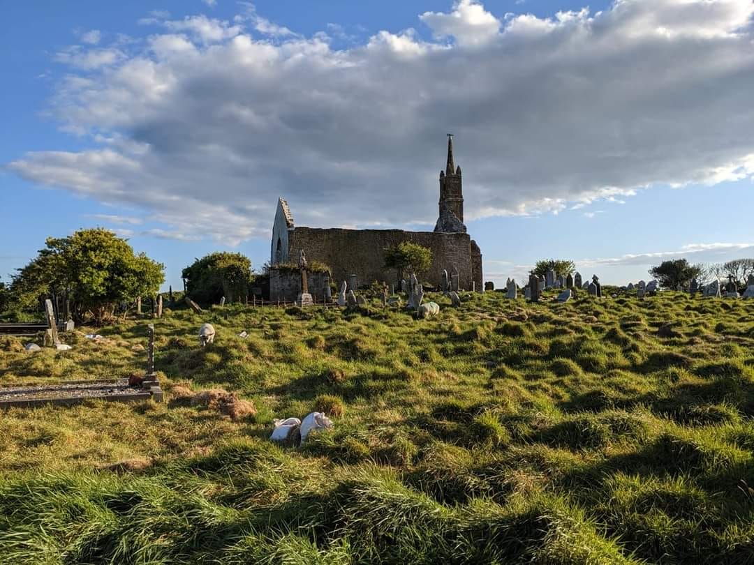 GravesBurial · 571 yd
 Bealahacreagh Bridgebridge · 1634 yd
 Penitential station in ScronagarePenitential station · 1.3 mi
 Cnoc na nUlán (mullach thoir)Mountain / peak · 2.8 mi
 Carrigaphooca CastleCastle · 2.8 mi
 Neill's WoodWood · 3.3 mi
 Curraheen WoodWood · 3.5 mi
 KnockullaneMountain / peak · 3.7 mi
 Dundareirke Castle (in Ruins)Castle, tower house · 4.0 mi
 Clonavrick CliffCliff · 4.1 mi
 Macroom WalksVisitor information · 4.6 mi