
What is recorded here
In pasture, on N-facing slope; oval sod-covered mound (H 0.5m; 4.5m N-S; 3.5m E-W) about which rest some loose stones. On top of a mound is bullaun stone (9237); second bullaun stone (9238) lies nearby at SE edge of mound; between these is flat slab incised with recent penitential cross. Accordingto local information, rounds made here on 11th Feb., St Gobnait's Day; local tradition relates that she saw a white deer here on her way to Ballyvourney (9302) c. 4 miles to W.
The above description is derived from the published 'Archaeological Inventory of County Cork. Volume 3: Mid Cork' (Dublin: Stationery Office, 1997). In certain instances the entries have been revised and updated in the light of recent research.
Date of upload/revision: 14 January 2009
A penitential station associated with early Christian pilgrimage practices; the bullaun stones may have been used for ritual kneeling or as holy water basins, linked to local traditions of penance and healing.
The monument record does not grant public access. Check the route and ask the landowner before entering private land.
- What survives
- Recorded monument
Places near here
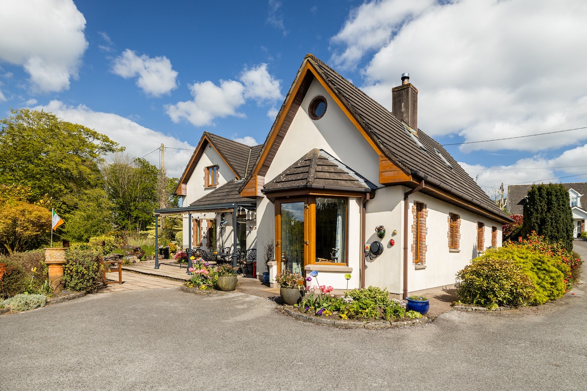 CaheratruceFairy fort / stone ringfort · 458 yd
 IndicatedEcclesiastical enclosure · 913 yd
 Bealahacreagh Bridgebridge · 1198 yd
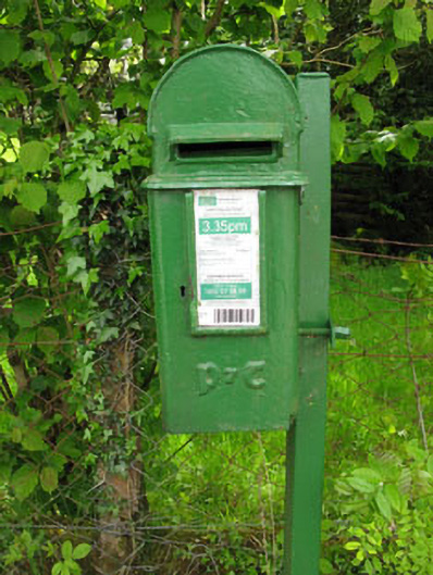 post boxpost box · 1.1 mi
 Carrigaphooca CastleCastle · 2.3 mi
 Cnoc na nUlán (mullach thoir)Mountain / peak · 2.9 mi
 Curraheen WoodWood · 3.0 mi
 Dundareirke Castle (in Ruins)Castle, tower house · 3.4 mi
 KnockullaneMountain / peak · 3.5 mi
 Neill's WoodWood · 3.8 mi
 European long distance path E8 - part IrelandWalking route · 4.6 mi
 Macroom WalksVisitor information · 4.7 mi
Other information
Photo: Credit not shown in the picture search · Rights wording not checked; contact us if this picture should be removed