
What is recorded here
Shown on 1842, 1903 and 1940 OS 6-inch maps as subcircular enclosure (diam. c. 60m) immediately S of roadway. Burial ground (9343) and bullan stone (9226) in NE quadrant; second bullaun stone (9227) c. 12m to S of enclosure. Enclosing boundary survives NNW->SE as wall of burial ground; levelled elsewhere. Townland name translates 'Cill Ghobnatan - St. Gobnait's church' (O'Donoghue 1986, 224).
The above description is derived from the published 'Archaeological Inventory of County Cork. Volume 3: Mid Cork' (Dublin: Stationery Office, 1997). In certain instances the entries have been revised and updated in the light of recent research.
Date of upload/revision: 14 January 2009
The monument record does not grant public access. Check the route and ask the landowner before entering private land.
- What survives
- Recorded monument
Places near here
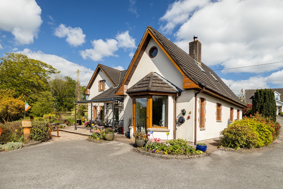 CaheratruceFairy fort / stone ringfort · 847 yd
 Penitential station in ScronagarePenitential station · 913 yd
 Fulacht fia in Kilgobnet (muskerry West By.)Fulacht fia · 943 yd
 Bealahacreagh Bridgebridge · 1027 yd
 Carrigaphooca CastleCastle · 2.6 mi
 Cnoc na nUlán (mullach thoir)Mountain / peak · 2.7 mi
 Curraheen WoodWood · 3.3 mi
 KnockullaneMountain / peak · 3.4 mi
 Neill's WoodWood · 3.7 mi
 Dundareirke Castle (in Ruins)Castle, tower house · 3.7 mi
 Macroom WalksVisitor information · 4.7 mi
 Clonavrick CliffCliff · 4.8 mi
Other information
Photo: Credit not shown in the picture search · Rights wording not checked; contact us if this picture should be removed