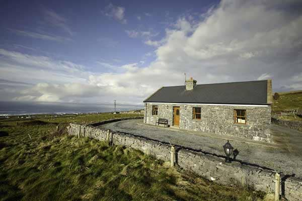
What is recorded here
Caherfadda holds three small stone circles and a cairn along a wide western ridge, proving the land served human ritual or residence before modern pasture. The main enclosure measures barely eight metres across, yet its collapsed bank still draws the eye because the ridge itself seems to lean westward as if listening. People may have herded livestock, buried dead, or marked seasonal changes there; the stones no longer explain which. What remains clear is that this was never empty nature. It was a shaped place, repeated across distances so short a person could walk between all of them in minutes.
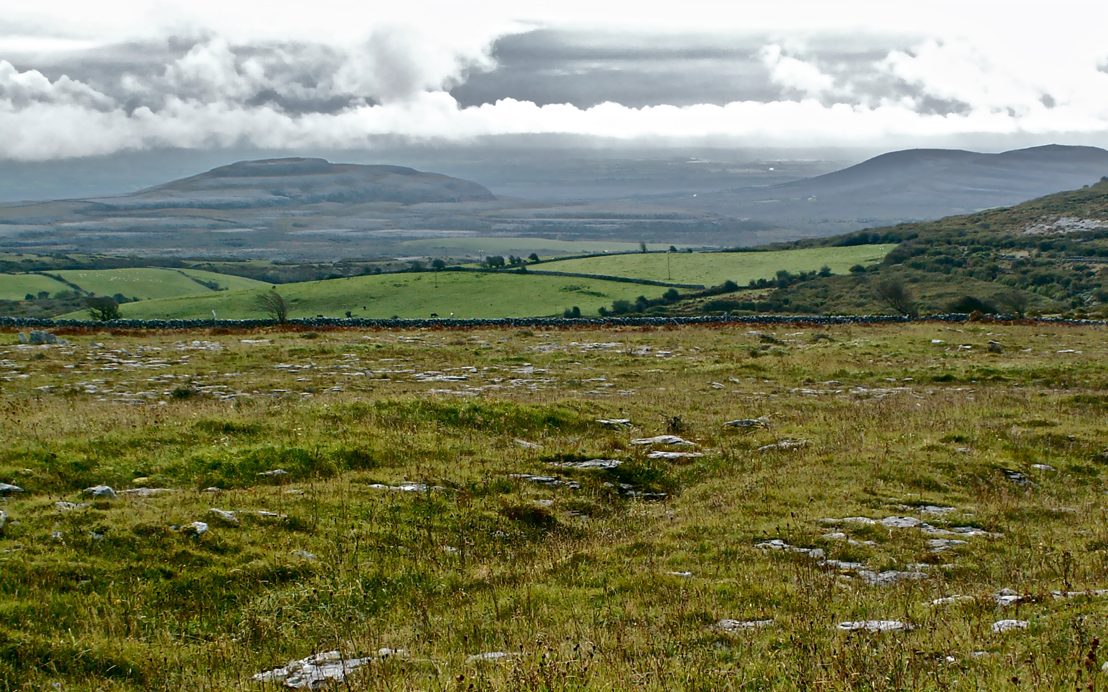
On a wide E-W ridge which slopes and broadens to the W, in rough pasture within a multiperiod field system (CL009-166001-). This small circular enclosure (int. dims. 7.8m N-S; 7.6m E-W, ext. diam. 13.7m) is defined by a bank of stone collapse (Wth 2-3.8m; max. H 0.5m). Other enclosures (CL009-196003-; CL009-252----) lie c. 40m and 81m to the SSW respectively. There is a cairn (CL009-196002-) c. 66m to the SSW.
Compiled by: Mary Tunney and Conn Herriott
Date of upload: 12 July 2022
The monument record does not grant public access. Check the route and ask the landowner before entering private land.
- What survives
- Recorded monument
Places near here
 IndicatedFairy fort / stone ringfort · 536 yd
 Enclosure in MoygownaEnclosure · 604 yd
 Templeline (in ruins)Church · 1615 yd
 Farbrega RockNamed rock · 1.3 mi
 Fergus River CaveCave · 1.4 mi
 Leamaneh CastleCastle · 1.5 mi
 Leamaneh Castle (in ruins)House, fortified house · 1.5 mi
 Saint Joseph's Catholic Churchchurch/chapel · 2.0 mi
 Inchiquin IslandIslet · 3.2 mi
 Rock IslandIsland · 3.2 mi
 CaherconnellHeritage attraction · 3.4 mi
 Cave of the Wild HorsesCave · 3.6 mi
Other information
Photo: Credit not shown in the picture search · Rights wording not checked; contact us if this picture should be removed