
What is recorded here
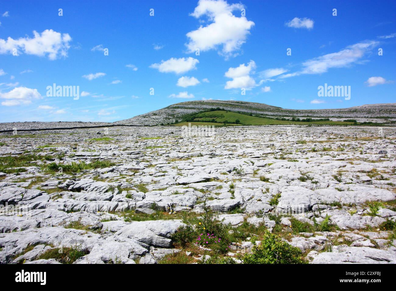
On a terrace on a N-facing slope in an area of rough pasture and heavy scrub. A subrectangular enclosure (c. 13m N-S; c. 10m E-W) defined by a grassed-over wall is visible on OSi MapGenie 2013-2018.
Compiled by: Mary Tunney
Date of upload: 10 May 2023
The monument record does not grant public access. Check the route and ask the landowner before entering private land.
- What survives
- Recorded monument
Places near here
 IndicatedFairy fort / stone ringfort · 494 yd
 Enclosure in CaherfaddaEnclosure · 604 yd
 Templeline (in ruins)Church · 1493 yd
 Farbrega RockNamed rock · 1.1 mi
 Leamaneh CastleCastle · 1.3 mi
 Leamaneh Castle (in ruins)House, fortified house · 1.3 mi
 Fergus River CaveCave · 1.6 mi
 Carran Church (in ruins)Church · 1.8 mi
 CaherconnellHeritage attraction · 3.1 mi
 Cave of the Wild HorsesCave · 3.3 mi
 Inchiquin IslandIslet · 3.4 mi
 Poulnabrone - Burren GeositeVisitor information · 3.5 mi
Other information
Photo: Credit not shown in the picture search · Rights wording not checked; contact us if this picture should be removed