What is recorded here
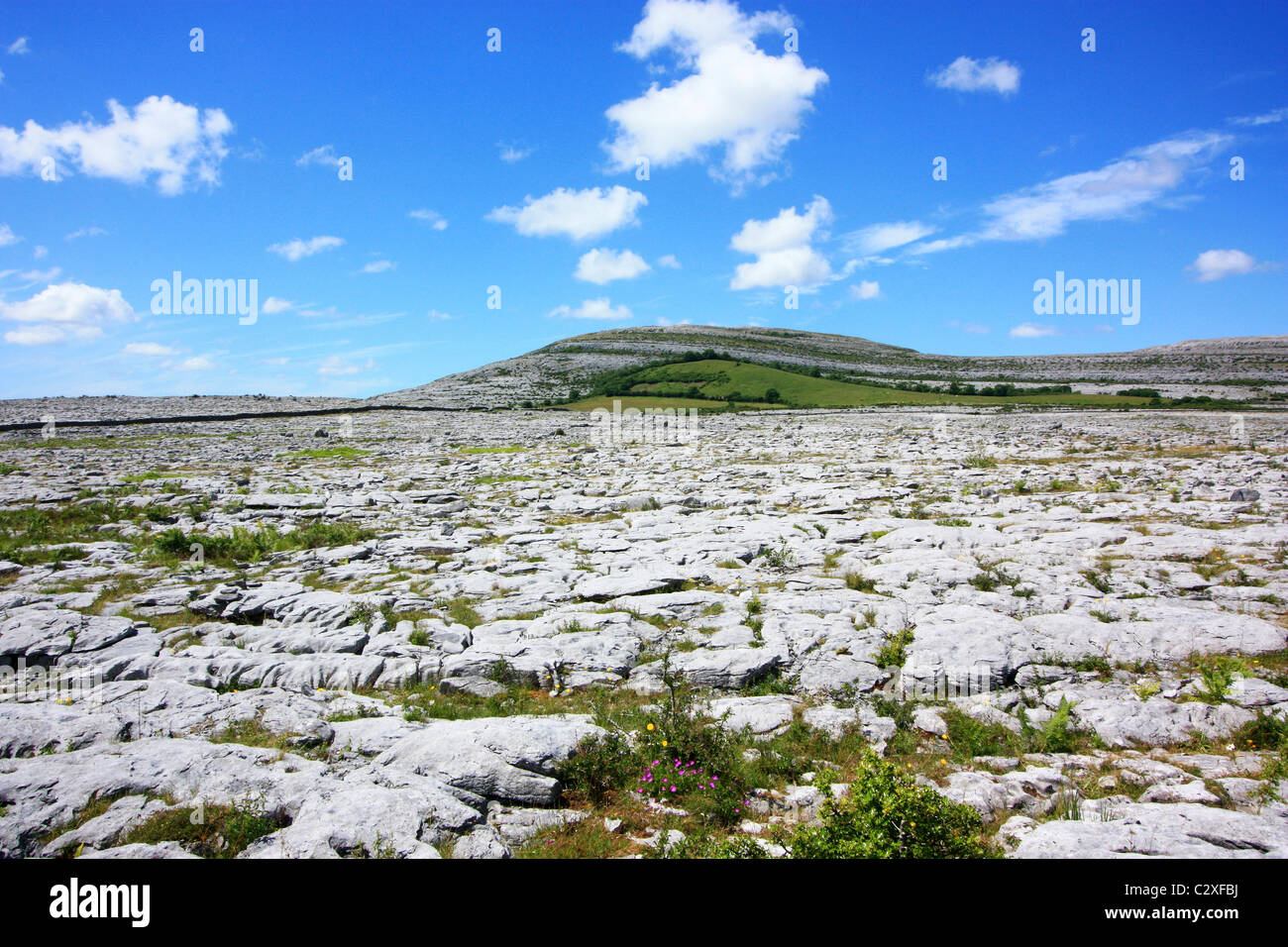
On a berm of outcropping rock that is heavily overgrown with hazel wood and briars; the land slopes steeply into a ravine (Wth c. 20m; D c. 5m) all around except at W where the ground is level for c. 20m before falling away. Indicated on the 1897 OS 25-inch plan and the 1920 ed. of the OS 6-inch map. Listed as ‘Enclosure’ in the RMP (1996). Described by Westropp (1913, 256) as ‘well-built’, this poorly preserved subcircular cashel (ext. dims. 23m E-W; 19m N-S) is now defined by a stone spread (1.5-2m; ext. H 0.4-1.8m), which is flush with the interior from S to W and rises 0.3m about it at W. No trace of it is visible at N. Outer wall-facing (ext. H 0.4-1.8m) survives from E to S to W and consists of horizontally laid stones (max. L 0.7m; Wth 0.5m; H. 0.2m). There is an entrance gap (Wth 1.45m) at ENE. A loose stone (L 0.6m; H 0.6m) visible in it was standing on edge. It appeared to have been worn smooth and had a shallow basin-like depression (diam. 0.18m; D 0.05m) on one surface, suggestive of a bullaun stone, but it was unclear whether the stone had been worked or was simply a natural solution hollow. A wedge tomb (CL009-112001-) lies c. 120m to the NE.
Compiled by: Olive Alcock and Conn Herriott
Date of upload: 13 June 2022
The monument record does not grant public access. Check the route and ask the landowner before entering private land.
- What survives
- Recorded monument
Places near here
 Enclosure in MoygownaEnclosure · 494 yd
 Enclosure in SheshymoreEnclosure · 755 yd
 Templeline (in ruins)Church · 1755 yd
 Leamaneh CastleCastle · 1.1 mi
 Leamaneh Castle (in ruins)House, fortified house · 1.1 mi
 Farbrega RockNamed rock · 1.2 mi
 Carran Church (in ruins)Church · 1.6 mi
 Fergus River CaveCave · 1.7 mi
 CaherconnellHeritage attraction · 3.0 mi
 Cave of the Wild HorsesCave · 3.1 mi
 Poulnabrone - Burren GeositeVisitor information · 3.4 mi
 The Portal TombVisitor information · 3.4 mi
Other information
Photo: Credit not shown in the picture search · Rights wording not checked; contact us if this picture should be removed