What is recorded here
Caherdaniel is a rock art site in County Kerry, Ireland. The facts above are incomplete for the named place and may be incomplete or wrong. Keep the visible evidence and excluded claims separate, and ask for the missing facts or a visible check instead of inventing the final answer.
In improved pasture (57m OD), on a N-facing slope, surrounded by mountains and high ground all around. Incorporated into drystone boundary (long-axis NNW-SSE) between pasture field to W and dwelling house to E. A smooth and fractured sandstone (dims. 2.10m N-S; 3.20m E-W; max. H 1.60m at N) with a rectangular decorated surface (dims. 0.50m N-S; 0.20m E-W) having a gentle E-facing aspect. A cluster of three cup-and-ring motifs (overall diam. 9cm; ring Wth 1cm; D 2-3mm; cup diam. 4-5.5cm; D 10mm) at W end of decorated surface; cup-and-ring at N is incomplete and has a ring present SW->W->NNE. Potential cupmark (diam. 5cm; D 10mm) adjacent to N is rough and uneven within. A cluster of four possible cupmarks (diam. 4-5cm; D 4-5mm) is located 1.02m to NE of cup-and-ring motifs. These are smooth and regular in plan, although not as pronounced as other cupmark motifs and may indicate natural dimpling in the rock surface. Motifs are difficult to see due to overhanging branches of whitethorn trees and other vegetation. A loose field clearance boulder bearing four drill holes (potentially for dynamite), is located above a natural ledge upon rock surface. This monument was initially identified as rock art by A. Lambe (2016).
Compiled by: Alison McQueen and Vera Rahilly
Date of upload: 7 July 2017
Likely dating to the Neolithic or Bronze Age, the rock art may have served a ritual or territorial function, possibly linked to landscape orientation or seasonal markers. Its placement within a drystone boundary suggests continued use or reverence in later periods, though specific folklore or meaning is not recorded.
The monument record does not grant public access. Check the route and ask the landowner before entering private land.
- What survives
- Recorded monument
Places near here
 IndicatedFairy fort / stone ringfort · 227 yd
 Enclosure in CaherdanielEnclosure · 267 yd
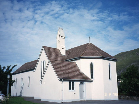 Saint Crohan's Catholic Churchchurch/chapel · 472 yd
 Ogham StoneVisitor information · 1412 yd
 Trá An Ráth / Rath BeachBeach / strand · 1.1 mi
 Cahernageeha MountainMountain / peak · 1.2 mi
 Derrynane House / Teach Dhoire FhionáinHeritage attraction · 1.2 mi
 Teach Dhoire Fhíonáin [Derrynane House]country house · 1.2 mi
 Páirc Náisiúnta Stairiúil Dhoire Fhíonáin / Derrynane National Historic ParkNature reserve · 1.3 mi
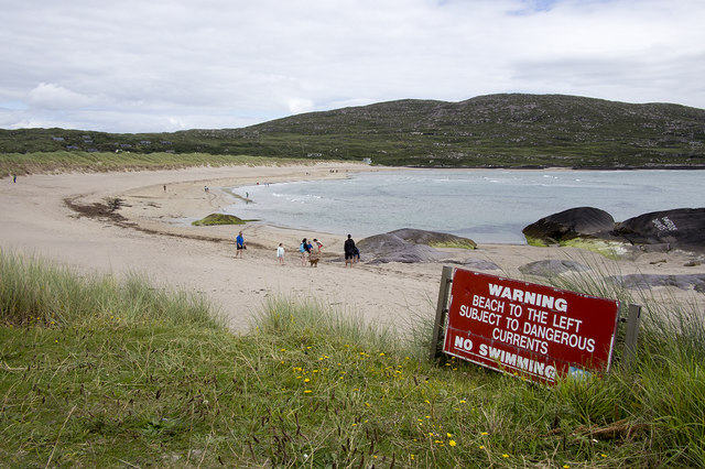 Derrynane Beach / Trá Doire FhíonáinBeach / strand · 1.3 mi
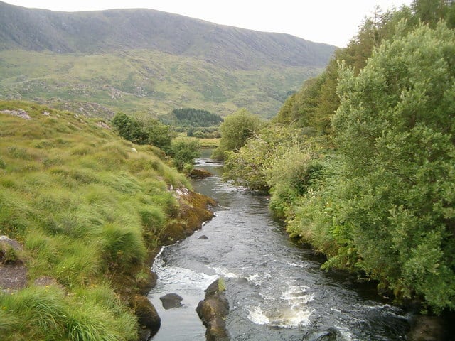 Eagle HillMountain / peak · 1.4 mi
 Lamb's IslandIslet · 2.0 mi