
What is recorded here
Cahercrin is a circular cashel on a Galway pasture rise, its drystone wall enclosing a hidden world of underground passage and mortar-bound rooms. The land still breathes through a narrow south-east gap while a laneway cuts the north-east quadrant, inviting entry into what density now conceals. People may have lived beneath and above the ring, using the fort as both home and threshold between the visible and the forgotten.
On a rise in pastureland. Circular cashel (diam. 50.4m), in fair condition, defined by a drystone wall. A gap (Wth c. 2m) at SSE may be original. A laneway cuts through the NE quadrant. Redington (1916a, 56) and Westropp (1919a, 181) refer to the presence of a Man-made underground passage (GA096-030001-) as well as late house foundations and several rectangular enclosures within the interior; some of the walls were built with mortar. Due to the dense overgrowth, trees and bushes none of these features could be identified. (McCaffrey 1952, 152, no. 25)
Compiled by: Galway Archaeological Survey, UCG
Date of upload: 11 January 2017
The monument record does not grant public access. Check the route and ask the landowner before entering private land.
- What survives
- Recorded monument
Places near here
 IndicatedFairy fort / stone ringfort · 725 yd
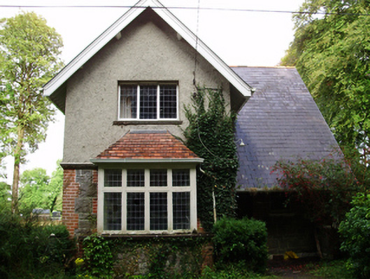 Rockfield Housegate lodge · 902 yd
 WillmountCountry house · 1568 yd
 CahermoreFairy fort / stone ringfort · 1.4 mi
 Moyard WoodWood · 2.2 mi
 Site of Shanbally CastleCastle, unclassified · 2.3 mi
 Derrydonnell Castle (in ruins)Castle, tower house · 2.6 mi
 Athenry AbbeyHeritage attraction · 2.7 mi
 Athenry CastleHeritage attraction · 2.8 mi
 Horse-chestnutHorse-chestnut · 3.0 mi
 First Battle of Athenrybattle · 3.5 mi
 Leadmine HillMountain / peak · 9.0 mi
Other information
Photo: Credit not shown in the picture search · Rights wording not checked; contact us if this picture should be removed