What is recorded here
Caherconlish Castle stood as a roofed tower house beside the church and graveyard in 1681, its eastern entrance guarded by a projecting box-machicolation that dropped shadows across the wall-walk. The small multi-storey structure later vanished without a trace, leaving only a marked spot on old maps where stone once bit into the Limerick earth. Whatever hands climbed those walls or watched the village from above, the castle erased them along with itself, keeping its guard in absence rather than marble.
Caherconlish Castle depicted as a roofed tower house type structure standing to the SW of the church and graveyard in 1681 by Thomas Dineley (NLI, MS 392; Shirley 1858-67, 197). In this drawing the castle is depicted as a small multi-storey tower with round-headed entrance in E wall of castle. The external entrance to the castle was protected by a projecting box-machicolation accessed at wall-walk level. Possible angle-machicolation at second floor level on the SE angle.
Site of Caherconlish Castle described in the Urban Survey of County Limerick (Bradley et. al. 1989, 89) as following; "There are records of four castles in the town (Westropp 1906-7, 94), traces of which survived apparently until the early 19th century but these have also vanished. These appear to have been fortified town houses of the type which still survives at Fethard, Co. Tipperary, and at Ardee and Carlingford, in Co. Louth. The site of one castle is marked on the O.S. map to the south-east of the churchyard but no remains survive there and another is marked on the O.S. map to the north of the village. Another castle may have been on the site of Caherconlish House to the south-west of the village (Lenihan 1866, 727). There are also references to a "college" (Lewis 1837, i, 239)."
Compiled by: Denis Power
Revised by: Caimin O'Brien
Date of revised upload: 31 October 2018
Caherconlish Castle was a 16th- or early 17th-century tower house, likely built by a local Gaelic or Anglo-Irish family. It is remembered for its depiction in 1681 by Thomas Dineley, providing valuable historical insight into early modern Irish architecture and land use.
The monument record does not grant public access. Check the route and ask the landowner before entering private land.
- What survives
- Recorded monument
Places near here
 Caherconlish Castle (site of), HachuredCastle, ringwork · 11 yd
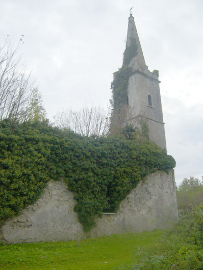 Caherconlish Churchchurch/chapel, mausoleum · 107 yd
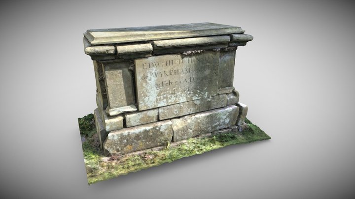 TombTomb, chest tomb · 107 yd
 Wall monument in CaherconlishWall monument · 114 yd
 OutlinedCastle, unclassified · 141 yd
 Site of TemplemichaelChurch · 732 yd
 St Lawrence's WellSpring · 1.3 mi
 Wych ElmWych Elm · 1.9 mi
 Graveyard in AbingtonGraveyard · 3.5 mi
 Skool HillMountain / peak · 4.5 mi
 Sliev Felim WayVisitor information · 5.0 mi
 KnockseefinMountain / peak · 5.2 mi