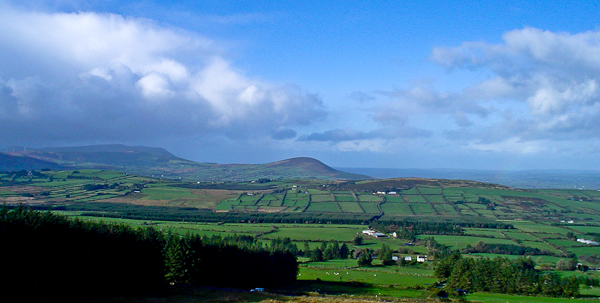
What is recorded here
Indicated is a ruined stone ringfort on the lower north slope of Caherbarnagh, where a break in the wall and a possible underground passage hint that the site resisted ordinary mapping. Its circular boundary, inner rooms and scattered quernstones suggest people lived, worked and perhaps hid beneath the hill. The forklift driver who first saw the shape through the pasture grass may have read more of its purpose than any surveyor later recorded.
In pasture, on lower N-facing slope of Caherbarnagh. Circular area (24.7m N-S; 23.9m E-W) enclosed by ruinous stone wall (H 1m; T 2.5m); break in wall to SSE (Wth 1.5m). Three quernstone fragments noted in wall. Vegetation pattern SW->N may indicate outer wall. Ruins of two subrectangular structures against inner face of wall to NE (L 5m) and S (L 2.9m). Possible Man-made underground passage (8970) E of centre.
The above description is derived from the published 'Archaeological Inventory of County Cork. Volume 3: Mid Cork' (Dublin: Stationery Office, 1997). In certain instances the entries have been revised and updated in the light of recent research.
Date of upload/revision: 14 January 2009
The monument record does not grant public access. Check the route and ask the landowner before entering private land.
- What survives
- Recorded monument
Places near here
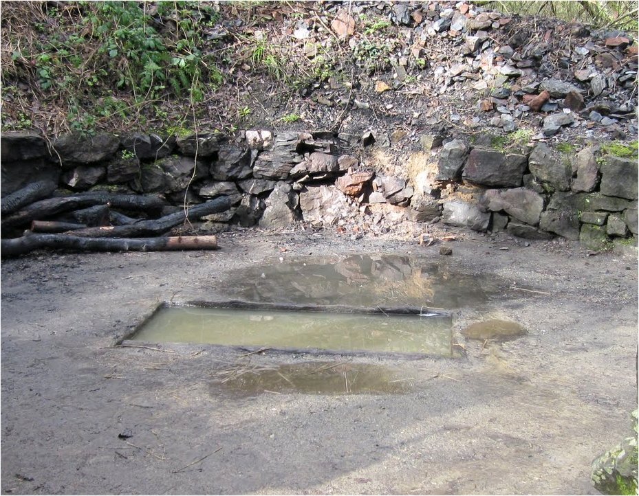 Fulacht FiadhFulacht fia · 378 yd
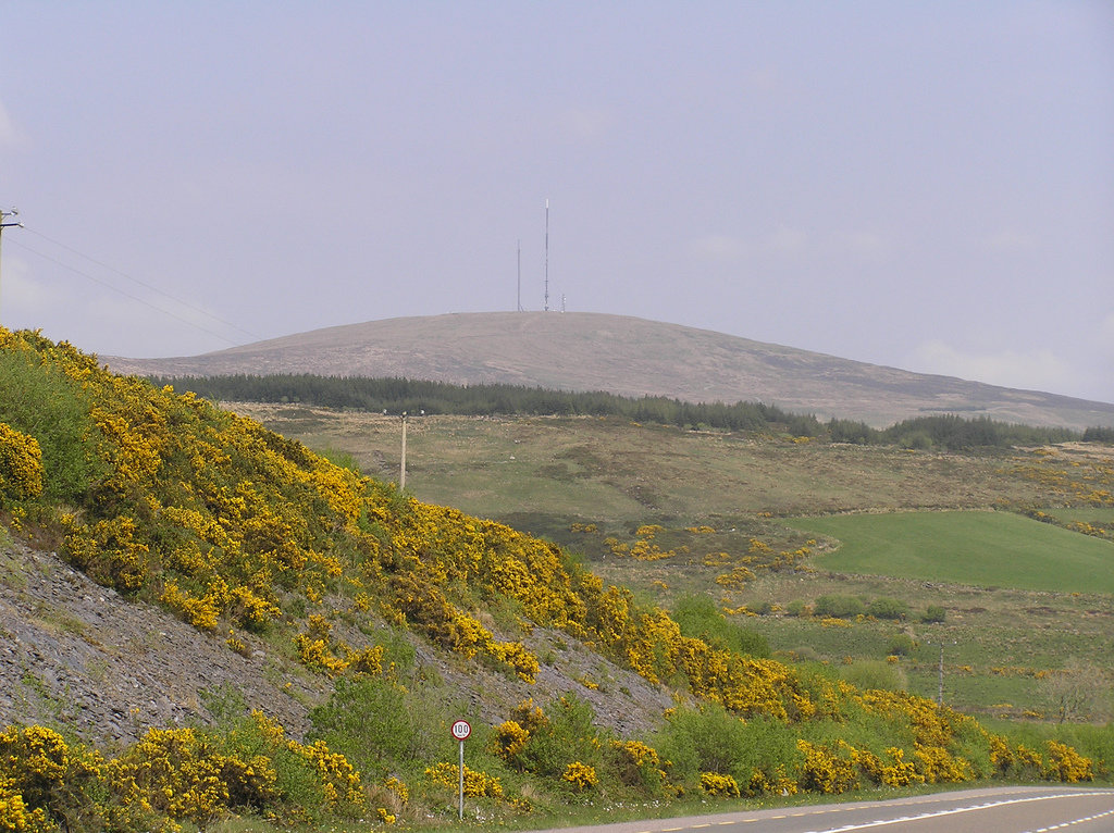 Man-made underground passage in CaherbarnaghMan-made underground passage · 1188 yd
 Caherbarnagh NW TopMountain / peak · 1465 yd
 CaherbarnaghMountain / peak · 1.1 mi
 Chapel in RathduaneChapel · 2.3 mi
 Ballydaly Church (in Ruins)Church · 2.4 mi
 Nohaval WoodWood · 3.7 mi
 Wildlife of the UplandsVisitor information · 4.2 mi
 Birds of DuhallowVisitor information · 4.4 mi
 Kilmeedy CastleCastle, tower house · 4.6 mi
 RowanRowan · 4.7 mi
 Millstreet Museum & Tourist Information CentreMuseum · 4.8 mi
Other information
Photo: Credit not shown in the picture search · Rights wording not checked; contact us if this picture should be removed