What is recorded here
Caherawoneen South holds a collapsed circular cashel thirty-four metres wide on a north-facing slope, its ancient drystone wall buried beneath a later field boundary. A small semicircular shape still marks the southern interior, perhaps a shelter or storage nook for whoever lived there before the stones fell. The gaps at the southeast and south look like modern damage, not deliberate entrances, leaving the true doorway hidden under grass and forgotten time.
On a N-facing slope in rough pastureland. Poorly preserved circular cashel (diam. 34m) defined by a collapsed drystone wall, which is overlain by a later field wall. The remains of a semicircular structure (Wth 1.8m) are visible in S half of the interior. Gaps at SE and S appear to be modern.
Compiled by: Galway Archaeological Survey, UCG
Date of upload: 9 January 2017
The monument record does not grant public access. Check the route and ask the landowner before entering private land.
- What survives
- Recorded monument
Places near here
 farm housefarm house · 644 yd
 IndicatedFairy fort / stone ringfort · 794 yd
 CaveMan-made underground passage · 1.2 mi
 Dungory Castle (in ruins)Castle, tower house · 1.4 mi
 Dunguaire CastleCastle · 1.4 mi
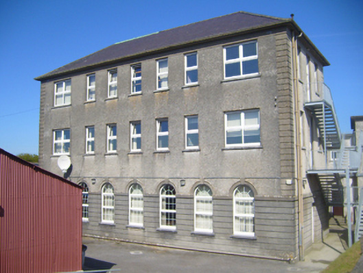 Seamount Collegehouse · 1.6 mi
 Mulroney's IslandIslet · 2.5 mi
 Cusheen IslandIslet · 2.9 mi
 Coole-Garryland Nature ReserveNature reserve · 3.5 mi
 European BeechEuropean Beech · 3.5 mi
 Traught BeachBeach / strand · 4.6 mi
 Drumacoo Monastic SiteHeritage attraction · 4.8 mi