What is recorded here
Situated on level pasture. The monument is heavily masked by dense scrub. Sub-oval area (diam. 22m N-S; 21.7m E-W) enclosed by an earth-and-stone bank. The bank (int. H 0.68m; ext. H 0.68-0.82m; Wth. 0.9-1.3m) is best preserved from NNE to NNW. There is a break in the bank at S (Wth. 2.7m). The interior slopes gently down to the S. The monument and an area of scrub to S has been enclosed by a stone wall which runs immediately to N, E and W and c. 30m to S of the monument, creating a trapezoidal buffer between two fields.
Compiled by: Denis Power
Date of upload: 5 February 2013
The monument record does not grant public access. Check the route and ask the landowner before entering private land.
- What survives
- Recorded monument
Places near here
 Not shownFulacht fia · 93 yd
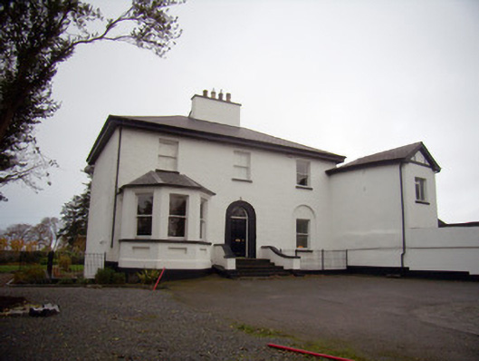 Mount Mungretrectory/glebe/vicarage/curate's house · 284 yd
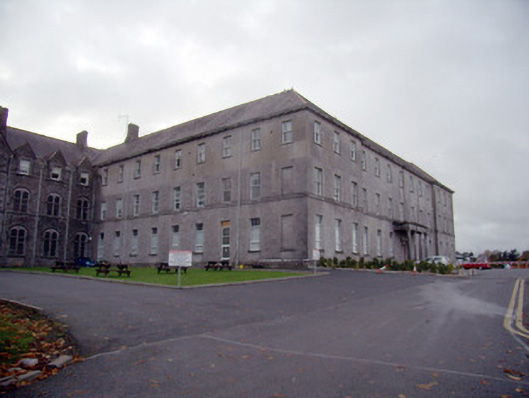 Mungret Collegecollege, stables · 635 yd
 Enclosure in CastlemungretEnclosure · 652 yd
 Coonagh NatureNature reserve · 1.9 mi
 St James's WellSpring · 2.2 mi
 Castle FieldCastle, unclassified · 2.3 mi
 Carrigogunnell CastleRuins · 2.5 mi
 Sailors HaggardMemorial · 3.1 mi
 Fountain SculptureHeritage attraction · 5.7 mi
 Visitor CentreVisitor information · 5.7 mi
 Campus MapVisitor information · 5.7 mi