What is recorded here
Fairy fort in Caher, County Cork: a circular raised area 28.5m by 27m on the north bank of the Argideen river, set atop a natural spur at the edge of the flood plain. Its steep scarp rises 1.55m from northwest to southeast, while elsewhere the boundary blunts into an overgrown, stepped bank. People may have lived there before the river took the memory, or the fairies may have taken the people; either way the ground kept its shape.
On N bank of Argideen river on edge of flood plain, atop natural spur. Circular, raised area (28.5m N-S; 27m E-W) defined by scarp (H 1.55m) NW->SE; natural heavily overgrown scarp elsewhere, with stepped appearance.
The above description is derived from the published 'Archaeological Inventory of County Cork. Volume 1: West Cork' (Dublin: Stationery Office, 1992). In certain instances the entries have been revised and updated in the light of recent research.
Date of upload/revision: 14 January 2009
The monument record does not grant public access. Check the route and ask the landowner before entering private land.
- What survives
- Recorded monument
Places near here
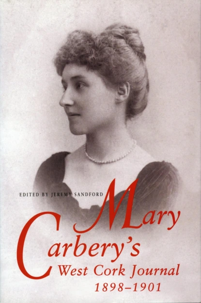 Burial ground in Caher (carbery E. (w.d.) By., Kilmeen Par.)Burial ground · 112 yd
 Boulder-burial in Letter (carbery East (w.d) By.)Boulder-burial · 1174 yd
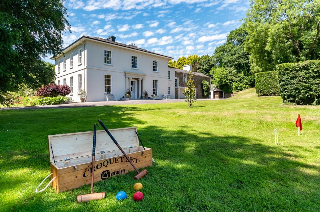 Country house in LiscubbaCountry house · 1490 yd
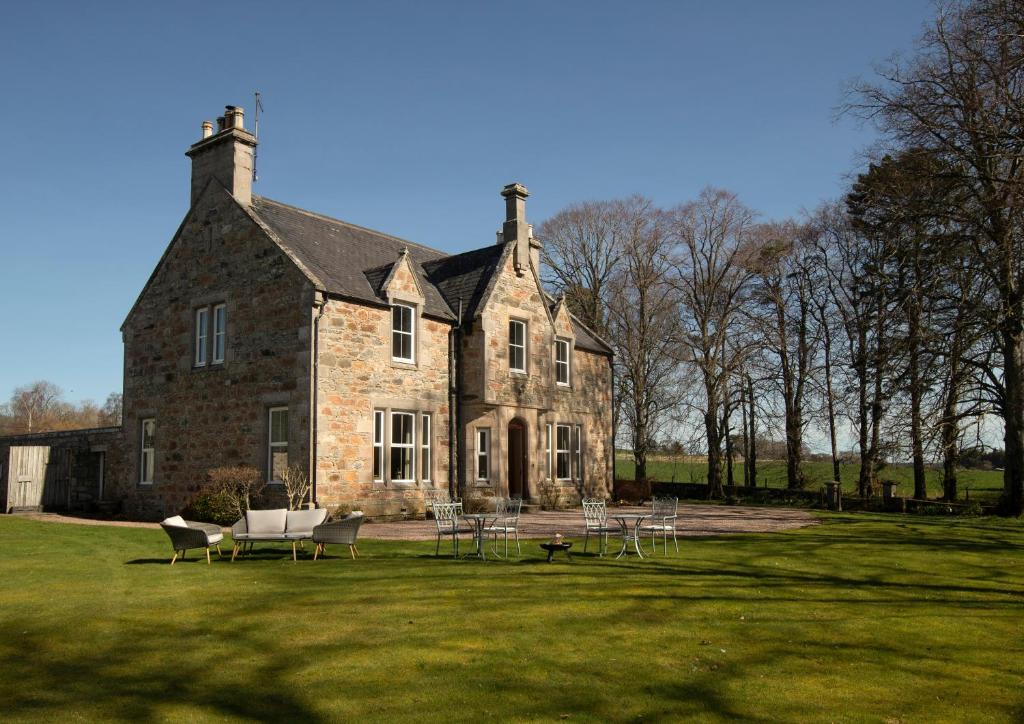 Country house in Letter (carbery East (w.d) By.)Country house · 1688 yd
 Clasharusheen Mansion (Site of)Castle, unclassified · 1.3 mi
 Fahanacowley Castle (Site of)Castle, unclassified · 1.6 mi
 Corran HillMountain / peak · 2.9 mi
 Michael Collins BirthplaceHistoric birthplace · 3.2 mi
 Battle of the Big Cross (1798) Memorial MonumentMonument · 3.3 mi
 Michael Collins MemorialMemorial · 3.3 mi
 Clonakilty Blackpudding Visitor CentreHeritage attraction · 3.3 mi
 Cloch na gCoillteMemorial · 3.6 mi