What is recorded here
Five stones stood at Cabragh, each called Gallaun, forming a sharp triangle and a distant pair before humans removed them all. They marked a forgotten line of sight or boundary, perhaps guiding cattle, people, or prayer through open Cork fields. Their absence is not empty; it is a shape the land still remembers, waiting for someone to walk the distance between the places where they stood.
This standing stone is included in the 'Archaeological Inventory of County Cork - vol. 3 Mid-Cork' (1997) under the entry (no. 6573) for a five individual standing stones (CO059-016001-) at Cabragh. Conlon (1918, 137) refers to this as stone A, the northernmost stone. The following is the inventory entry for all five stones: 'Three standing stones depicted on 1842 OS 6-inch map c. 100m SW of stone row(6505) and stone circle (CO059-01502-). Each stone individually named 'Gallaun' and c. 40-45m apart. They stand in N-S line with southern-most stone lying slightly to SW; this stone is not shown on later eds of OS 6-inch maps. Conlon (1918, 136) describes five stones here, three (A (CO059-016003-), B (CO059-016002-), and C (CO059-016001-)) forming 'the apices of an equilateral triangle' c. 58 yds apart (A: H 7ft1in; 1ft 1in x 8in: B: H 6ft; 2ft 3in x 1ft 9in: C: H5ft; 2ft 8in x 2in). Another two stones (D (CO059-159----) and E (CO059-190----) c. 150 yds to S stood 2ft 3in apart. (D: H 4ft 8in; 2ft 4in x 8in; E: H 1ft 5in; 1ft 3in x 3in). All stones removed.'
The above description is derived from the published 'Archaeological Inventory of County Cork. Volume 3: Mid Cork' (Dublin: Stationery Office, 1997). In certain instances the entries have been revised and updated in the light of recent research.
Date of upload/revision: 14 January 2009
Likely dating to the Bronze Age, the Gallaun – Cabragh standing stone may have functioned as a territorial marker or ceremonial monument. No specific folklore or detailed use is recorded for this site.
The monument record does not grant public access. Check the route and ask the landowner before entering private land.
- What survives
- Recorded monument
Places near here
 Fulacht fia in CabraghFulacht fia · 136 yd
 Fulacht fia in CarrigonirtaneFulacht fia · 241 yd
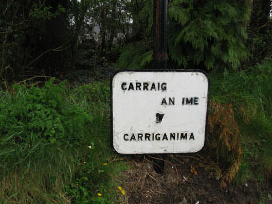 sign postsign post · 1737 yd
 St John the Baptist Roman Catholic Churchchurch/chapel · 1.1 mi
 Cnoc na nUlán (mullach thoir)Mountain / peak · 2.3 mi
 Mullaghanish Far North-East TopMountain / peak · 3.1 mi
 Carrigaphooca CastleCastle · 4.1 mi
 Neill's WoodWood · 4.2 mi
 Paddy Mulcahey 2009Memorial · 4.2 mi
 Standing Stone ? At J WellMemorial · 4.3 mi
 Clonavrick CliffCliff · 4.5 mi
 Curraheen WoodWood · 4.7 mi