What is recorded here
At the top of a long gentle W-facing pasture slope. Contains a ruined church (KD031-014----) and a font (KD031-014002-). A well-maintained rectangular area (c. 50m E-W; c. 35m N-S) contains numerous burials, the earliest legible of which date to the 19th-century.
Compiled by: Gearóid Conroy
Date of upload: 07 October 2013
The monument record does not grant public access. Check the route and ask the landowner before entering private land.
- What survives
- Recorded monument
Places near here
 Font in Fontstown LowerFont · 5 yd
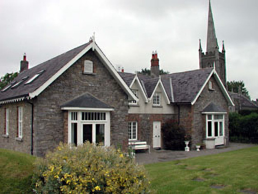 Old School Houseschool · 501 yd
 Church of Saint John the Evangelist Fontstown)church/chapel · 546 yd
 CastleCastle, unclassified · 1076 yd
 IndicatedFairy fort / earthen ringfort · 1240 yd
 Battle of Kilrushbattle · 1.4 mi
 Ardscull MoatCastle, motte · 2.1 mi
 History of Moat of ArdscullVisitor information · 2.2 mi
 Gorden Bennet Race memorialMemorial · 2.2 mi
 European BeechEuropean Beech · 2.2 mi
 Narraghmore WoodWood · 2.6 mi
 1798 memorialMemorial · 5.6 mi