What is recorded here
Situated on a rise in an undulating landscape. The cropmarks of two small enclosures (diam. c. 10m) defined by single fosse features and placed c. 5m apart E-W. are visible on aerial images (OSAP: 1995). A third feature (ME032-063003-) is located c. 110m to the W, and a fourth (ME032-063004-) is c. 160m to the SSE. First identified by Colin Byrne.
Date of upload: 15 September, 2017
The monument record does not grant public access. Check the route and ask the landowner before entering private land.
- What survives
- Recorded monument
Places near here
 Enclosure in BurtonstownEnclosure · 418 yd
 European BeechEuropean Beech · 593 yd
 Enclosure in FlemingstownEnclosure · 756 yd
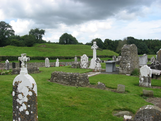 RuinChurch · 1129 yd
 Saint Mary's Church (Kentstown)church/chapel · 1290 yd
 European ashEuropean ash · 1698 yd
 Site of Old CastleCastle, unclassified · 2.8 mi
 Athcarne CastleCastle, tower house · 2.8 mi
 Candle HillMountain / peak · 3.0 mi
 PuddenhillHeritage attraction · 4.1 mi
 Boyne Currach CentreHeritage attraction · 4.9 mi
 Carn HillMountain / peak · 5.1 mi