What is recorded here
In pasture, on a SE-facing slope. A levelled fulacht fia (TS063-006----) lies c. 70m to the SE. One of two burnt spreads (TS063-006001- and TS063-006002-) which were noted during drainage works on N side of field boundary, in rough pasture (NMI topographical files). A stream flanks the N side of the field boundary. According to local information, waters flows downslope to SE in both fields when the stream is in flood. It is not visible at ground level.
Compiled by: Jean Farrelly
Date of upload: 26 August 2011
The monument record does not grant public access. Check the route and ask the landowner before entering private land.
- What survives
- Recorded monument
Places near here
 Site of ChurchChurch · 491 yd
 Knockuragh HillMountain / peak · 1358 yd
 (Site of) Drangan CastleCastle, unclassified · 1.2 mi
 Dangan Church (in ruins)Church · 1.3 mi
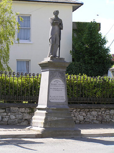 Michael Cusack Monumentmonument · 1.3 mi
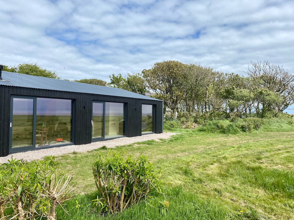 Enclosure in Knockroe (drangan Par.)Enclosure · 1.4 mi
 Bawn in LismalinBawn · 1.6 mi
 Fenane WoodForest · 2.1 mi
 Eagle HillMountain / peak · 2.8 mi
 Silver FirSilver Fir · 3.7 mi
 Slieveardagh Heritage CentreVisitor information · 5.0 mi
 The SpoutMemorial · 5.9 mi