What is recorded here
On low-lying ground c. 50m S of Rampere Stream. Discovered in 2005 during archaeological monitoring (Excavation Licence 05E0404) associated with the extension of the landfill site (Phelan 2008, 420). Excavation (Excavation Licence 05E0472) uncovered a roughly circular spread of burnt material (diam. 6m, D 0.05m - 0.25m). A number of pieces of struck flint were recovered. (McQuade 2008, 420)
Compiled by: Claire Breen
Date of upload: 6 December 2012
Burnt mound in Rampere is a Neolithic ritual or industrial site, dating to the 4th–3rd millennium BCE. Its significance lies in providing evidence of early land use and heat-related activities, such as cooking, hide processing, or ceremonial practices.
The monument record does not grant public access. Check the route and ask the landowner before entering private land.
- What survives
- Recorded monument
Places near here
 Enclosure in GoldenfortEnclosure · 422 yd
 TobernagoaghHoly well · 846 yd
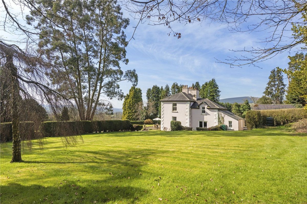 Goldenfort HouseRuins · 1075 yd
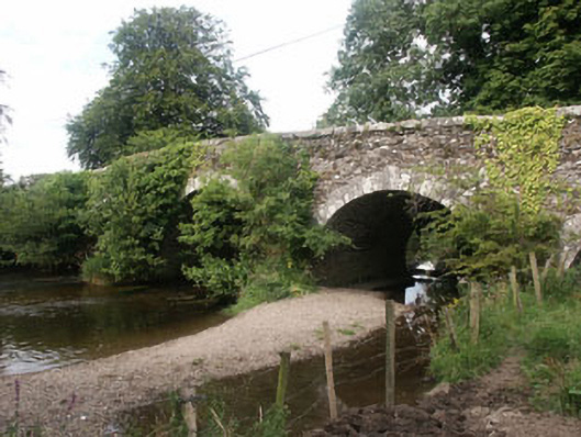 Tuckmill Bridgebridge · 1346 yd
 Tinoran HillMountain / peak · 1.0 mi
 CastleCastle, tower house · 1.8 mi
 Ballyhook HillMountain / peak · 2.1 mi
 Bawn in Ballintruer BegBawn · 2.9 mi
 European ashEuropean ash · 3.5 mi
 Saint Brigit's Mass StoneNamed rock · 3.7 mi
 Saint Brigit's ChairNamed rock · 3.8 mi
 Sam McAllistair GraveMemorial · 3.8 mi