
What is recorded here
Situated on flat marshy terrain at the W foot of gentle slope. Circular enclosure (diam. c. 30m) shown the 1838 and 1907 OS 6-inch maps as partly intruded on by railway embankment. Neither the enclosure nor the embankment are visible at ground level.
The above description is derived from the published 'Archaeological Inventory of County Wicklow' (Dublin: Stationery Office, 1997). In certain instances the entries have been revised and updated in the light of recent research.
Date of upload/revision: 17 December 2008
The monument record does not grant public access. Check the route and ask the landowner before entering private land.
- What survives
- Recorded monument
Places near here
 TobernagoaghHoly well · 461 yd
 St. Bernards WellHoly well · 842 yd
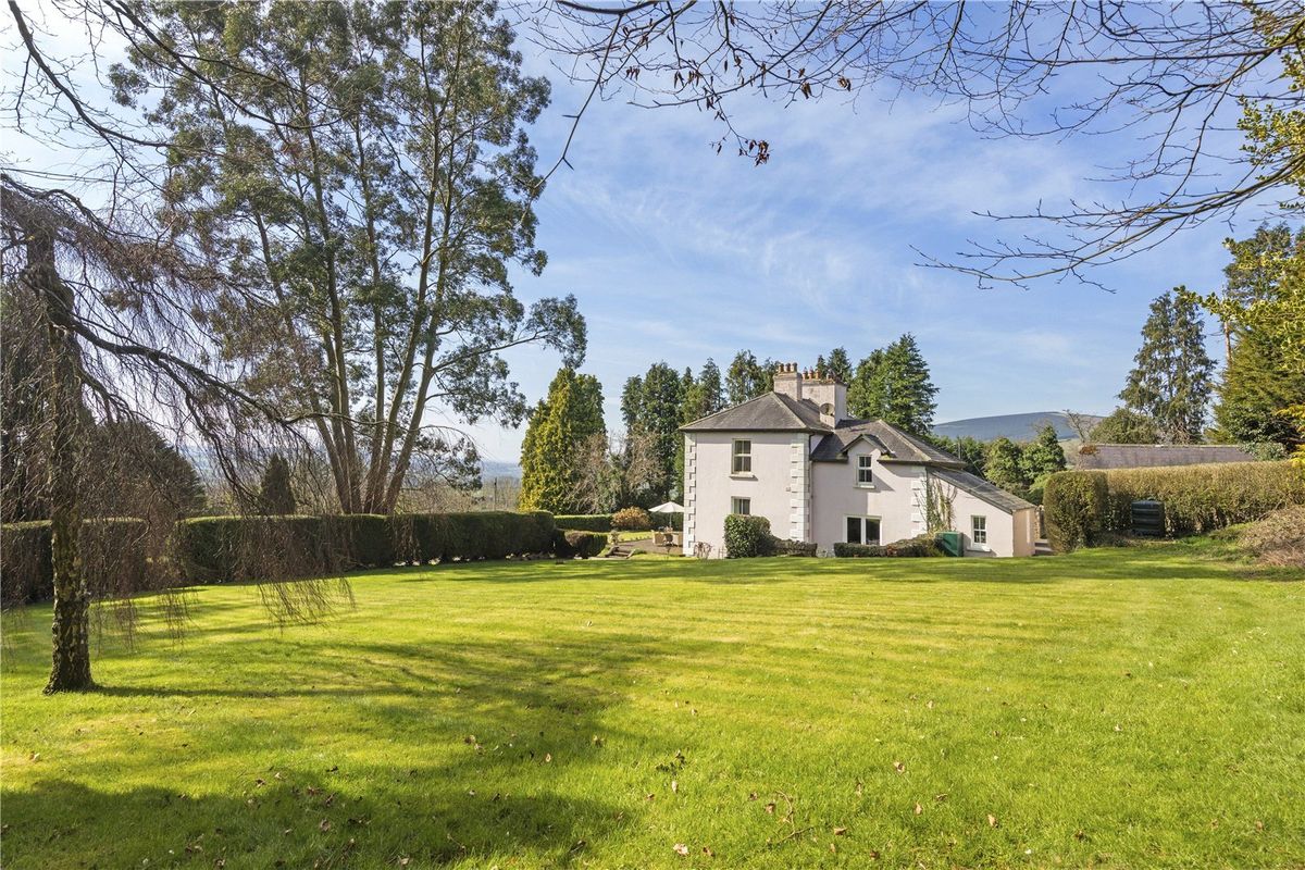 Goldenfort HouseRuins · 864 yd
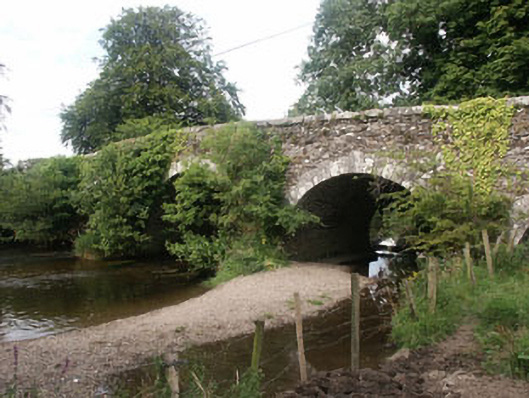 Tuckmill Bridgebridge · 1610 yd
 Tinoran HillMountain / peak · 1.2 mi
 Ballyhook HillMountain / peak · 1.9 mi
 Bawn in Ballintruer BegBawn · 2.9 mi
 CastlerudderyCastle, unclassified · 3.1 mi
 European ashEuropean ash · 3.5 mi
 Saint Brigit's Mass StoneNamed rock · 3.8 mi
 English hollyEnglish holly · 4.0 mi
 Saint Brigit's ChairNamed rock · 4.0 mi
Other information
Photo: Credit not shown in the picture search · Rights wording not checked; contact us if this picture should be removed