What is recorded here
New monument discovered in 2003 during excavations of the M7 Heath-Mayfield motorway scheme by Jonathan Dempsey of Archaeological Consultancy Services Ltd under licence number 03E0623. This site was located in an area of deep fill and was protected and reburied and preserved in situ.
Described as Morett 9 this site consists of a spread of burnt mound material 20m SE of another burnt mound (LA008-035) (Bennett 2006, 282).
Compiled by: Caimin O'Brien
Date of upload: 17 December 2007
Burnt mound in Morett is a Neolithic ritual or industrial site, dating to approximately 4000–2500 BCE, characterized by the presence of heat-shattered stones. Its significance lies in providing evidence of early human activity and land use in the region during the Neolithic period.
The monument record does not grant public access. Check the route and ask the landowner before entering private land.
- What survives
- Recorded monument
Places near here
 Enclosure in MorettEnclosure · 267 yd
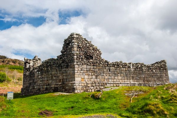 Doon FortFairy fort / earthen ringfort · 542 yd
 Morett Castle (in ruins)House, fortified house · 773 yd
 Morett Church (in Ruins)Church · 835 yd
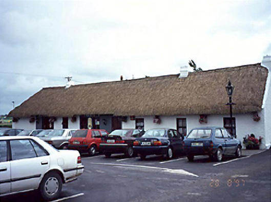 farm housefarm house · 1387 yd
 Pedunculate OakPedunculate Oak · 1.1 mi
 Coolbanagher Castle (ruins)Castle · 1.2 mi
 Giant SequoiaGiant Sequoia · 2.1 mi
 Rock of DunamaseCastle · 3.1 mi
 Rock of Dunamase InformationVisitor information · 3.1 mi
 Friary (in Ruins) GraveyardReligious house, unclassified · 4.1 mi
 Burial Ridge of MaryboroughMemorial · 4.7 mi