What is recorded here
The official Northern Ireland record identifies this as BURNT MOUND. Recorded period: C17TH; POST-MED. The official map point was placed at the centre of the recorded archaeological site from the source map reference.
A burnt mound; likely a Neolithic or Bronze Age ritual or industrial feature. Its wider significance remains unrecorded.
The monument record does not grant public access. Check the route and ask the landowner before entering private land.
- What survives
- Recorded monument
Places near here
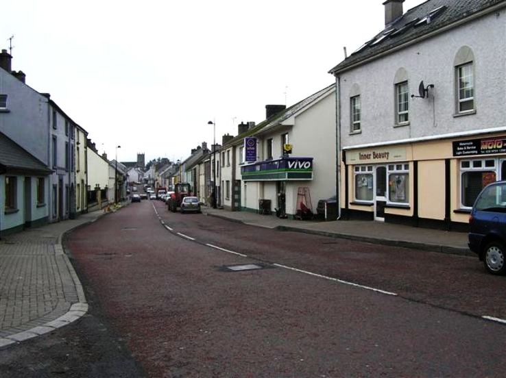 RathkeevanArchaeological place · 1614 yd
 IslandhillArchaeological place · 1.0 mi
 Attack on Derryard checkpointterrorist attack · 1.4 mi
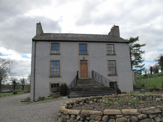 Kilcorran Househouse · 1.5 mi
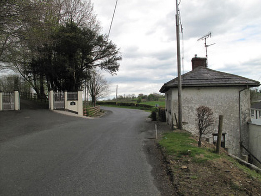 Aghafin Housegate lodge · 1.8 mi
 Jaundice WellSpring · 2.4 mi
 PLANTATION TOWER-HOUSE & BAWN (unlocated) in ShannockPLANTATION TOWER-HOUSE & BAWN (unlocated) · 3.1 mi
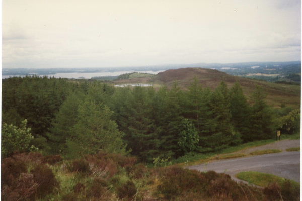 Annaghilly ForestForest · 3.2 mi
 Derrynawilt ForestForest · 3.7 mi
 Saint John's WellSpring · 4.0 mi
 Roosky Castle (Site of)Castle, ringwork · 4.2 mi
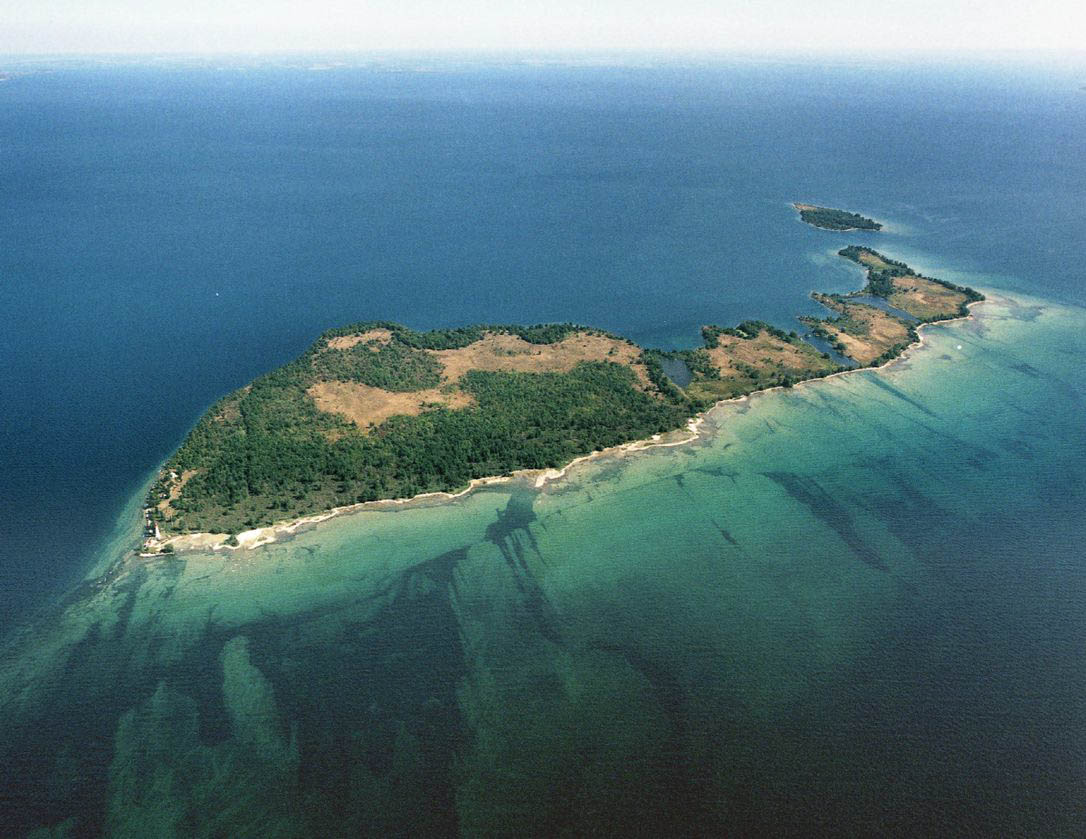 Duck IslandIslet · 4.3 mi