What is recorded here
Eighteen potential archaeological sites were found during monitoring of topsoil-stripping on the Celbridge Interchange, from April to December 2001 (Licence no. 01E0306). The scheme was approximately 4km in length and ran from Celbridge to Leixlip through gently undulating land with a mixture of arable, pasture and woodland. The southern part of the scheme runs through an area heavily influenced by 18th-century landscape design, with avenues, woodland and tree-lined field boundaries centred on the early 18th-century house at Castletown.
This site (Site 11) was 8m by 18m. It was identified as a spread of burnt sandstone, soil and charcoal. Post-medieval pottery was found in the topsoil above the feature. It was resolved under licence number 01E0855. (www.excavations.ie)
Compiled by: Gearóid Conroy
Date of upload: 10 June 2011
Burnt mound in Kilmacredock Upper is a Bronze Age ritual or industrial site, characterized by the presence of heat-shattered stones, likely used for cooking, hide processing, or ceremonial purposes. Its discovery contributes to understanding of early land use and domestic or ritual activity in the Celbridge area during the Bronze Age.
The monument record does not grant public access. Check the route and ask the landowner before entering private land.
- What survives
- Recorded monument
Places near here
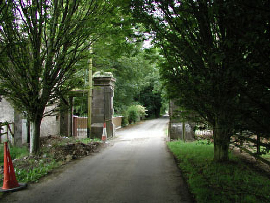 Castletowndemesne walls/gates/railings · 290 yd
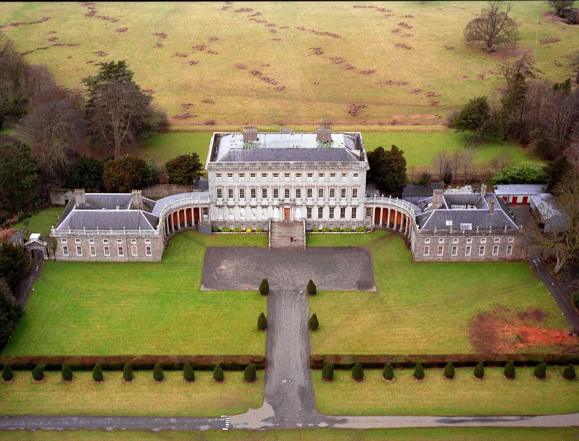 Enclosure in CastletownEnclosure · 638 yd
 Ecclesiastical enclosure in Kilmacredock UpperEcclesiastical enclosure · 741 yd
 Church (in Ruins)Church · 745 yd
 The Wonderful BarnHeritage attraction · 1450 yd
 Natalie MurrayMemorial · 1486 yd
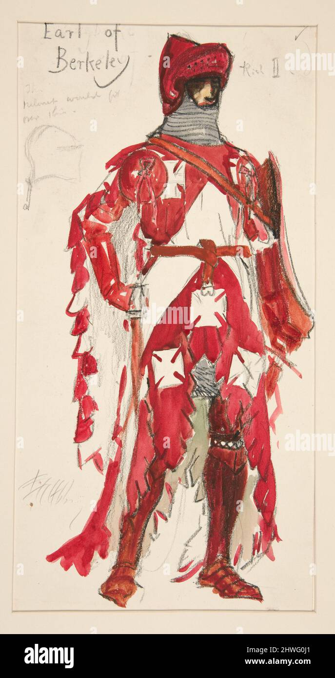 Berkeley Costume and Toy CollectionMuseum · 1727 yd
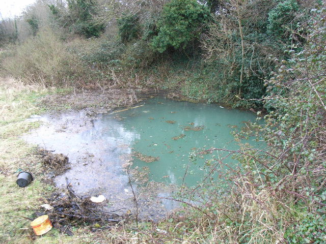 Leixlip Spa - SpringSpring · 1.0 mi
 CastleCastle, unclassified · 1.1 mi
 Batty Langley WoodsForest · 1.3 mi
 Squirrel WoodWood · 1.4 mi
 Leixlip MonumentMemorial · 1.6 mi