What is recorded here
At the bottom of a N-facing slope. Discovered in monitoring (04E1374) a road project during 2003 (Gannon 2004, 7-8, site 13). Portion of a mound of broken and burnt stone in a black matrix with charred organic material was revealed in a trench (visible dims 4m x 1.8m) with a smaller spread (diam. 1.2m) upslope. It was preserved in situ under a laneway. Burnt mound (RO011-165002-) is c. 7m to the S.
Compiled by: Michael Moore
Date of upload: 24 August 2010
A burnt mound; likely Bronze Age. Associated with ritual or industrial activity, common features in prehistoric settlement contexts.
The monument record does not grant public access. Check the route and ask the landowner before entering private land.
- What survives
- Recorded monument
Places near here
 Not inidcatedFairy fort / earthen ringfort · 634 yd
 IndicatedFairy fort / earthen ringfort · 670 yd
 Church (in Ruins)Church · 1214 yd
 Hughestown WoodForest · 1.2 mi
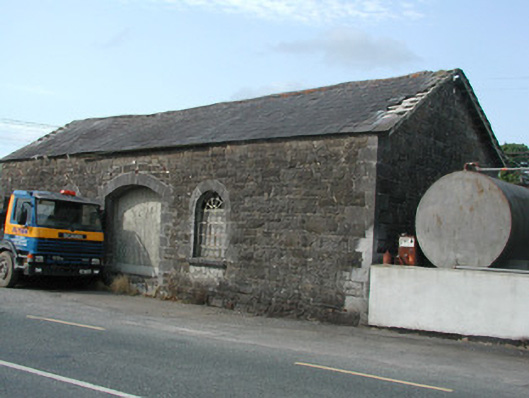 Carrick-on-Shannon Railway Stationstore/warehouse · 1.2 mi
 Moon RiverHeritage attraction · 1.6 mi
 PortCastle, unclassified · 3.2 mi
 Castle (Site of)Castle, unclassified · 4.0 mi
 InishnagonIsland · 4.8 mi
 Horse-chestnutHorse-chestnut · 4.9 mi
 Patrick Gill Memorial Plaque (IRA)Monument · 5.2 mi
 Robert Strawbridge MemorialMemorial · 5.3 mi