What is recorded here
Test-trenching was carried out in the townland of Ballyhenry, Co. Wicklow, as part of the ongoing pre-development archaeological works in advance of the proposed N11 Wicklow Bypass road improvement scheme. The testing was carried out over a 0.5km stretch of the proposed road route, and four areas of archaeological potential were identified.
The remains of a substantial burnt mound (WI019-059----), c. 25m long, 15m wide and c. 1m deep, were located within the central area of testing.
A second area of archaeological activity c. 20m to the north of this survived as a large spread of burnt mound material (WI019-061---- ), c. 7m in diameter. (located 155m to the N according to the test-trenching report map.)
A third area of activity was found within the northernmost area of testing. This appeared as a small spread of burnt mound material (WI019-060----), possibly a small pit, beside which was a dump of apparently unburnt stone.
A fourth area of activity within the southernmost portion of the test area consisted of two parallel ditches (WI025-059----) and an area of burning between them associated with a large pit. (Bennett 2003, 409-10).
Date of upload: 01 October 2012
Burnt mound in Ballyhenry is a Bronze Age ritual or industrial site, dated to approximately 2000–800 BCE. Its significance lies in providing evidence of early human activity, possibly related to cooking, metallurgy, or ceremonial practices in the Wicklow region.
The monument record does not grant public access. Check the route and ask the landowner before entering private land.
- What survives
- Recorded monument
Places near here
 Enclosure in RathmoreEnclosure · 439 yd
 Enclosure in KilloughterEnclosure · 604 yd
 Trinity Grave YardChurch · 849 yd
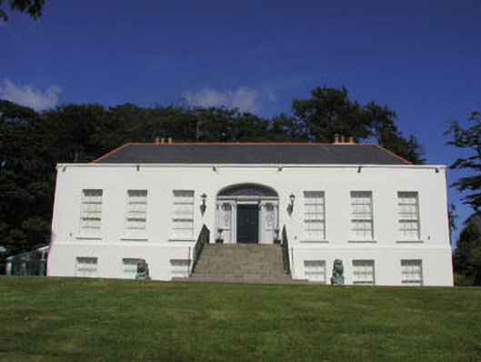 Killoughter Housecountry house · 1333 yd
 Chestnut-leaved OakChestnut-leaved Oak · 1.4 mi
 American SweetgumAmerican Sweetgum · 1.4 mi
 CastleCastle, ringwork · 1.7 mi
 Devil's Glen WaterfallWaterfall · 3.1 mi
 Castle (in Ruins)Castle, ringwork · 3.3 mi
 Carrick MountainMountain / peak · 4.3 mi
 Leamore StrandBeach / strand · 4.5 mi
 Glen Beach Cliff WalkWalking route · 5.1 mi