
What is recorded here
Ahankeesha stream flows beneath a rough grazing field where irregular grave markers still outline a burial ground. The stones mark a small irregular area, yet local tradition preserves the purpose hidden under grass and time. People may have chosen this overlook because the water carried life away or because the land already belonged to the dead.
In rough grazing overlooking Ahankeesha stream to N. Irregular area (8.8m E-W; 8m N-S) defined by grave markers. Local tradition of burial ground.
The above description is derived from the published 'Archaeological Inventory of County Cork. Volume 1: West Cork' (Dublin: Stationery Office, 1992). In certain instances the entries have been revised and updated in the light of recent research.
Date of upload/revision: 14 January 2009
The monument record does not grant public access. Check the route and ask the landowner before entering private land.
- What survives
- Recorded monument
Places near here
 Barán LoopWalking route · 649 yd
 Sheep's Head - Mass PathWalking route · 961 yd
 Boulder-burial in GorteanishBoulder-burial · 1097 yd
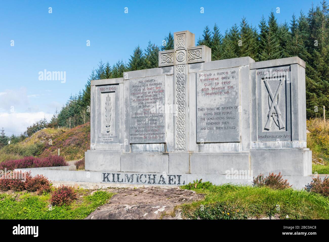 Tom Whitty memorialMemorial · 1207 yd
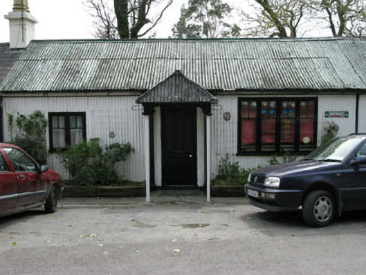 Ahakista Barpublic house · 1494 yd
 Rosskerrig MountainMountain / peak · 1517 yd
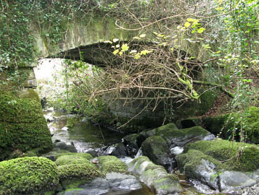 Ahakista Bridgebridge · 1594 yd
 Owen's IslandIslet · 1.3 mi
 Hut site in FoilakillyHut site · 1.3 mi
 GouladaneMountain / peak · 1.3 mi
 Air India Flight 182 Crash MemorialMemorial · 1.4 mi
 Stone RowHeritage attraction · 2.2 mi
Other information
Photo: Credit not shown in the picture search · Rights wording not checked; contact us if this picture should be removed